Transport Functions
Rail
Road
Hub Profile
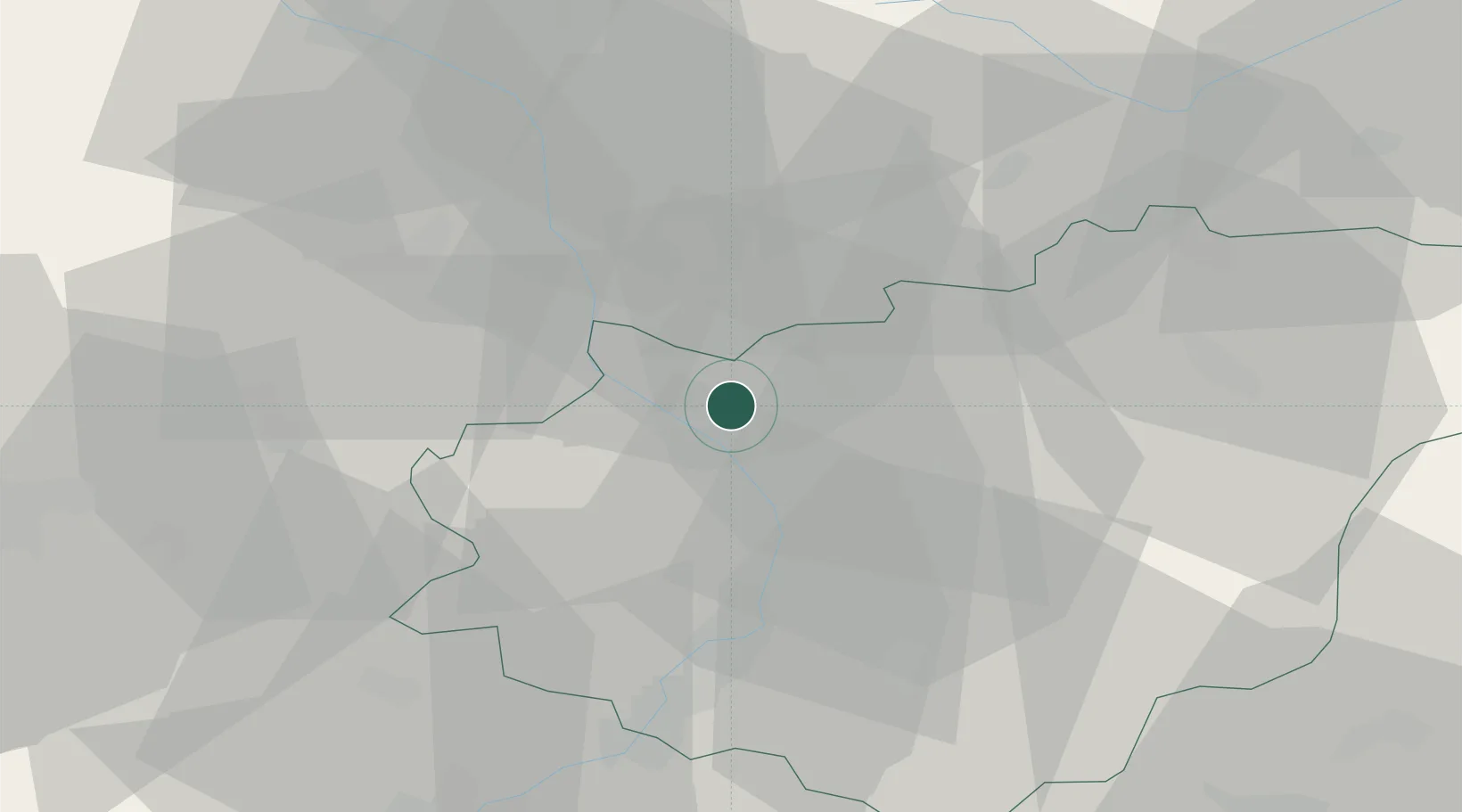
Place type
Populated place
Region
Zlín
Population
6,414
Time zone
Europe/Prague
Elevation
191 m
Location
Nearby Logistics Neighbours
Cities
- 1Kromeríz5 km
- 2Kvasice7 km
- 3Tlumacov8 km
- 4Myslocovice10 km
- 5Popuvky12 km
Ports
- 1Monfalcone491 km
- 2Trieste494 km
- 3Muggia498 km
- 4Bakar498 km
- 5Rijeka Luka498 km
Airports
- 1Přerov Air Base13 km
- 2Kunovice Airport32 km
- 3Brno-Tuřany Airport59 km
- 4Leoš Janáček Airport Ostrava63 km
- 5Piešťany Airport81 km
Trade Zones
DatabookThe Record of Consolidated Knowledge
Czechia beyond logistics?