Transport Functions
Port
Road
Hub Profile
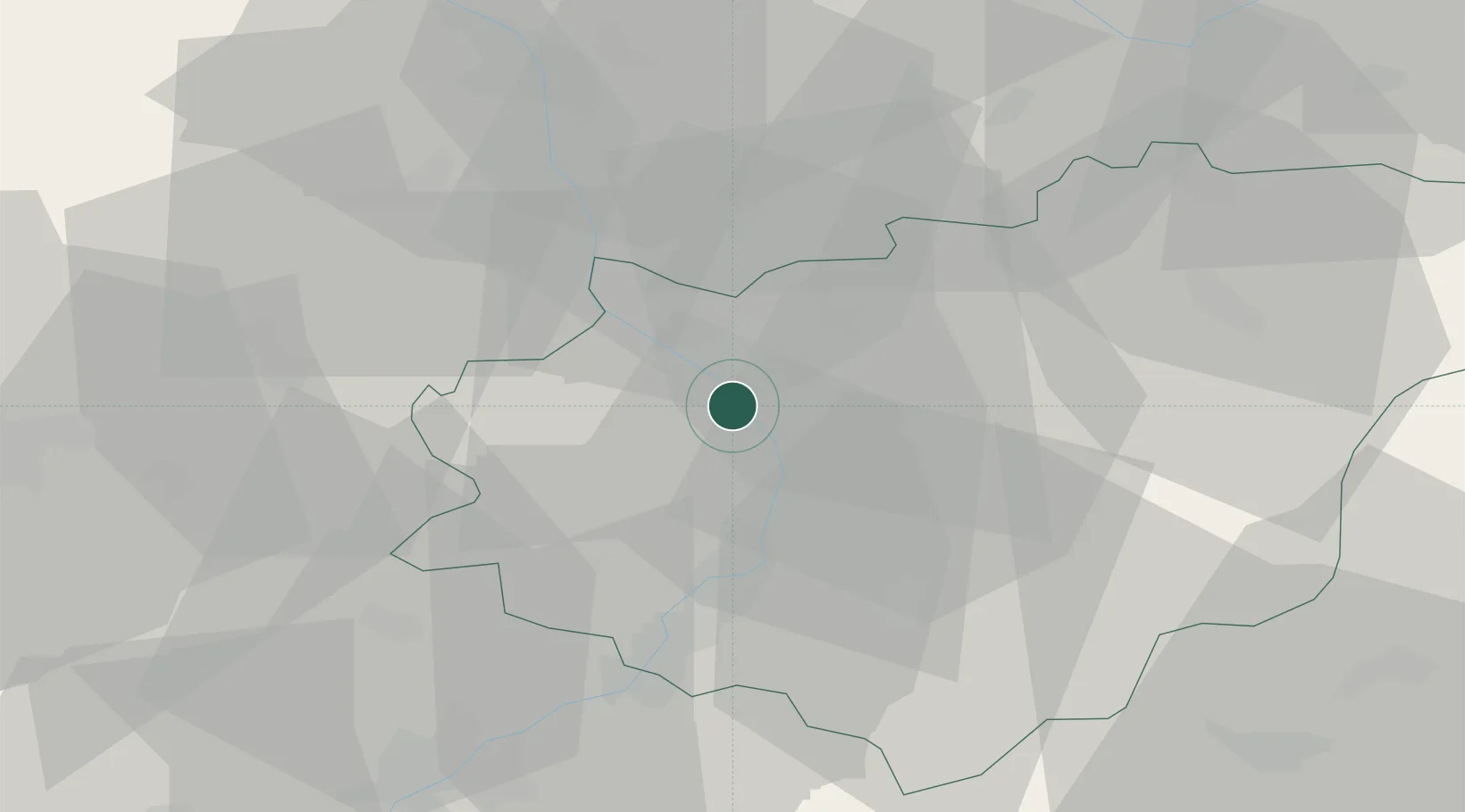
Place type
Populated place
Region
Zlín
Population
2,282
Time zone
Europe/Prague
Elevation
194 m
Location
Nearby Logistics Neighbours
Cities
- 1Tlumacov2 km
- 2Myslocovice6 km
- 3Kromeríz7 km
- 4Hulín7 km
- 5Spytihnev12 km
Ports
- 1Monfalcone485 km
- 2Trieste488 km
- 3Bakar492 km
- 4Rijeka Luka492 km
- 5Muggia492 km
Airports
- 1Přerov Air Base20 km
- 2Kunovice Airport25 km
- 3Brno-Tuřany Airport57 km
- 4Leoš Janáček Airport Ostrava68 km
- 5Piešťany Airport74 km
Trade Zones
DatabookThe Record of Consolidated Knowledge
Czechia beyond logistics?