Export Processing Zone · Czechia

Krnov - Červený Dvůr Municipal Industrial Zone Active
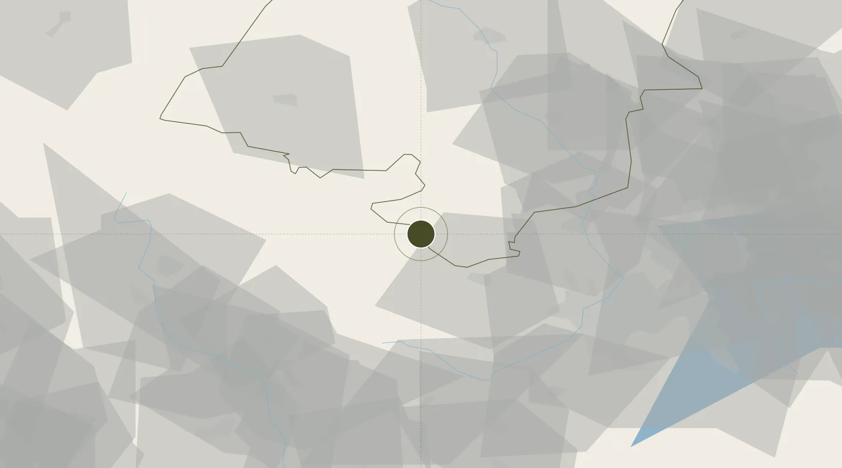
50.0699°, 17.7360°
42 ha
Zone area
431.9 km
Nearest port
49.5 km
Nearest airport

Gateway access

Nearest neighbours — logibook spatial index (haversine) over the source coordinates

Zone profile

Zone type
Export Processing Zone
Open Zone Map
Region
Opole
Open Zone Map
Status
Active
Open Zone Map
Management
Public-Private Partnership
Open Zone Map
Operator
ERDRICH Umformtechnik s.r.o. / Municipality of Krnov
Open Zone Map
Legal framework
Decree 547/2012 on Local Investment and Development
Open Zone Map

Location

Location of ozm-1743
Natural Earth 10m (public domain) · Opole · ozm-1743 · 50.07, 17.74GoogleOSMYandex

Nearby Logistics Neighbours

Ports
  1. 1Szczecin432 km
  2. 2Police446 km
  3. 3Gdansk480 km
  4. 4Kolobrzeg485 km
  5. 5Nowy Port488 km
Nearest neighbours — logibook spatial index (haversine) over the source coordinates
Airports
  1. 1Leoš Janáček Airport Ostrava50 km
  2. 2Přerov Air Base76 km
  3. 3Katowice Wojciech Korfanty International Airport106 km
  4. 4Žilina-Dolný Hričov Airport112 km
  5. 5Kunovice Airport118 km
Nearest neighbours — logibook spatial index (haversine) over the source coordinates
Cities
  1. 1Úvalno2 km
  2. 2Hory21 km
  3. 3Dívcí Hrad21 km
  4. 4Osoblaha22 km
  5. 5Svetla Hora23 km
Nearest neighbours — logibook spatial index (haversine) over the source coordinates
Trade Zones
  1. 1Bruntál Industrial Zone21 km
  2. 2Mošnov Development Area50 km
  3. 3Karvinská Specialized Economic Zone60 km
  4. 4Silesian Center for Logistics70 km
  5. 5Katowice SEZ (Katowicka SSE)82 km
Nearest neighbours — logibook spatial index (haversine) over the source coordinates
DatabookThe Record of Consolidated Knowledge
Czechia beyond logistics?
Browse databook

All Sources

Trade ZonesOpen Zone Map
CC BY
Portsthe NGA World Port Index
Public domain (US gov)
AirportsOurAirports
Public domain
LocationsUN/LOCODE
UN/LOCODE — free
← Czechia trade zones