Transport Functions
Multimodal
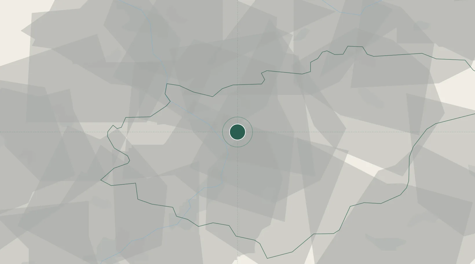
Hub Profile
Place type
Populated place
Region
Zlín
Population
582
Time zone
Europe/Prague
Elevation
216 m
Location
Nearby Logistics Neighbours
Ports
- 1Monfalcone489 km
- 2Trieste492 km
- 3Bakar495 km
- 4Rijeka Luka495 km
- 5Muggia496 km
Airports
- 1Přerov Air Base22 km
- 2Kunovice Airport26 km
- 3Brno-Tuřany Airport63 km
- 4Leoš Janáček Airport Ostrava64 km
- 5Piešťany Airport72 km
Trade Zones
DatabookThe Record of Consolidated Knowledge
Czechia beyond logistics?