Transport Functions
Rail
Road
Hub Profile
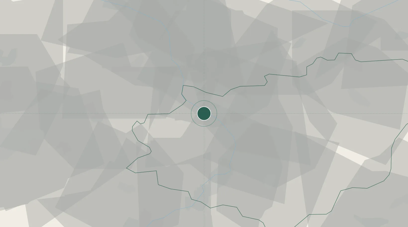
Place type
Populated place
Region
Zlín
Population
27,917
Time zone
Europe/Prague
Elevation
208 m
Location
Nearby Logistics Neighbours
Ports
- 1Monfalcone486 km
- 2Trieste490 km
- 3Muggia494 km
- 4Rijeka Luka494 km
- 5Bakar494 km
Airports
- 1Přerov Air Base14 km
- 2Kunovice Airport30 km
- 3Brno-Tuřany Airport54 km
- 4Leoš Janáček Airport Ostrava68 km
- 5Piešťany Airport81 km
Trade Zones
DatabookThe Record of Consolidated Knowledge
Czechia beyond logistics?