Transport Functions
Rail
Road
Hub Profile
Place type
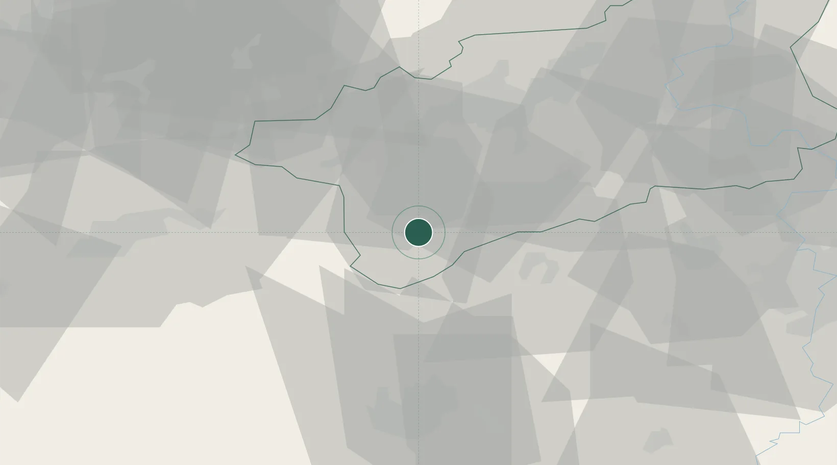
Populated place
Region
Ústecký kraj
Population
6,253
Time zone
Europe/Prague
Elevation
320 m
Location
Nearby Logistics Neighbours
Ports
- 1Szczecin364 km
- 2Police381 km
- 3Swinoujscie416 km
- 4Wolgast427 km
- 5Wismar431 km
Airports
- 1Karlovy Vary Airport36 km
- 2Plzeň-Líně Airport61 km
- 3Václav Havel Airport Prague61 km
- 4Vodochody Airport70 km
- 5Prague–Kbely Air Base81 km
Trade Zones
DatabookThe Record of Consolidated Knowledge
Czechia beyond logistics?