Free Trade Zone · Cyprus

Famagusta Free Port and Zone Active
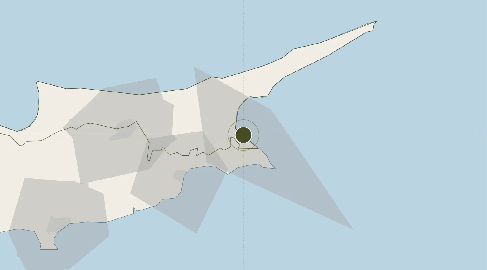
35.1312°, 33.9389°
49 ha
Zone area
1.7 km
Nearest port
23.0 km
Nearest airport

Gateway access

Nearest neighbours — logibook spatial index (haversine) over the source coordinates

Zone profile

Zone type
Free Trade Zone
Open Zone Map
Region
Northern Cyprus
Open Zone Map
Status
Active
Open Zone Map
Management
Public
Open Zone Map
Operator
Larnaca - Famagusta Directorate
Open Zone Map
Legal framework
Free Trade Port Law 26-1983
Open Zone Map

Location

Location of ozm-1737
Natural Earth 10m (public domain) · Northern Cyprus · ozm-1737 · 35.13, 33.94GoogleOSMYandex

Nearby Logistics Neighbours

Ports
  1. 1Famagusta2 km
  2. 2Dhekelia27 km
  3. 3Larnaca36 km
  4. 4Kyrenia60 km
  5. 5Limassol96 km
Nearest neighbours — logibook spatial index (haversine) over the source coordinates
Airports
  1. 1Lefkoniko Airport / Geçitkale Air Base23 km
  2. 2Ercan International Airport39 km
  3. 3Larnaca International Airport40 km
  4. 4RAF Akrotiri106 km
  5. 5Paphos International Airport140 km
Nearest neighbours — logibook spatial index (haversine) over the source coordinates
Cities
  1. 1Famagusta4 km
  2. 2Ayia Napa17 km
  3. 3Dhekelia24 km
  4. 4Larnaca38 km
  5. 5Nicosia52 km
Nearest neighbours — logibook spatial index (haversine) over the source coordinates
Trade Zones
  1. 1Larnaca Free Zone43 km
  2. 2Limassol Free Port100 km
  3. 3Latakia Lattakia Free Port172 km
  4. 4Tartous Tartus Free Zone178 km
  5. 5LatakiaLattakia Free Zone179 km
Nearest neighbours — logibook spatial index (haversine) over the source coordinates
DatabookThe Record of Consolidated Knowledge
Cyprus beyond logistics?
Browse databook

All Sources

Trade ZonesOpen Zone Map
CC BY
Portsthe NGA World Port Index
Public domain (US gov)
AirportsOurAirports
Public domain
LocationsUN/LOCODE
UN/LOCODE — free
← Cyprus trade zones