Seaport · Cyprus

FamagustaCYFMG

35.1167°, 33.9333°
9.4 m
Channel depth
10.9
Port liner connectivity
Famagusta is also a UN/LOCODE logistics hub →

Channel & Berth Profile

SEA LEVEL (CD)CHANNEL BEDChannel · 9.4 mCargo pier · 9.4 mAnchorage · 17.1 m
NGA World Port Index

Pilotage, Tugs & Services

Pilotage compulsoryYES
Pilotage availableYES
Pilotage advisableYES
Local assistanceYES
Tug assistanceYES
Potable waterYES
Diesel bunkersNO
MedicalYES
Garbage disposalYES
NGA World Port Index

Facilities & Capabilities

Container
Ro-Ro
Liquid bulk
Dry bulk
Oil terminal
Break bulk
Dry dockNO
RepairsNO
BunkeringNO
Rail link
Dangerous cargo
ISPS security
NGA World Port Index

Harbour Specifications

Harbour size
Small
NGA World Port Index
Harbour type
Coastal (Breakwater)
NGA World Port Index
Shelter
Fair
NGA World Port Index
Water body
Mediterranean Sea; North Atlantic Ocean
NGA World Port Index
Pilotage
Yes
NGA World Port Index

Liner Connectivity

10.9
PLSCI

Port Liner Shipping Connectivity Index for Famagusta, as published by UNCTAD for the latest available quarter. Higher values indicate stronger scheduled liner-shipping integration.

Shown relative to the highest per-port PLSCI in the dataset (1,657.9).
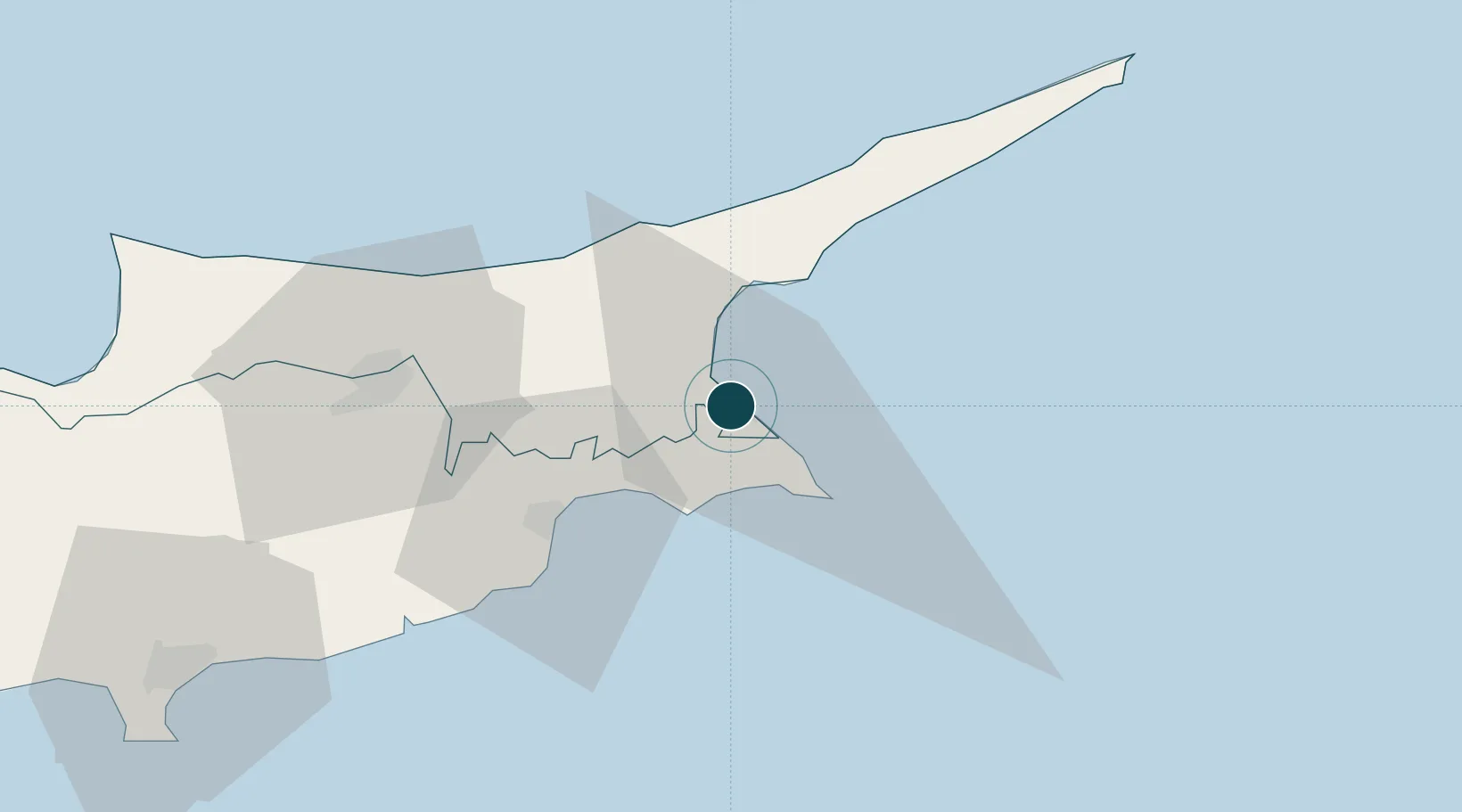
UNCTAD · Port Liner Shipping Connectivity Index

Location

Location of CYFMG
Natural Earth 10m (public domain) · Northern Cyprus · CYFMG · 35.12, 33.93GoogleOSMYandex

Nearby Logistics Neighbours

Ports
  1. 1Dhekelia26 km
  2. 2Larnaca34 km
  3. 3Kyrenia60 km
  4. 4Limassol95 km
  5. 5Xeros100 km
Nearest neighbours — logibook spatial index (haversine) over the source coordinates
Cities
  1. 1Ayia Napa16 km
  2. 2Dhekelia22 km
  3. 3Larnaca36 km
  4. 4Nicosia52 km
  5. 5Kyrenia60 km
Nearest neighbours — logibook spatial index (haversine) over the source coordinates
Airports
  1. 1Lefkoniko Airport / Geçitkale Air Base24 km
  2. 2Larnaca International Airport39 km
  3. 3Ercan International Airport39 km
  4. 4RAF Akrotiri104 km
  5. 5Paphos International Airport139 km
Nearest neighbours — logibook spatial index (haversine) over the source coordinates
Trade Zones
  1. 1Famagusta Free Port and Zone2 km
  2. 2Larnaca Free Zone41 km
  3. 3Limassol Free Port98 km
  4. 4Latakia Lattakia Free Port173 km
  5. 5Tartous Tartus Free Zone179 km
Nearest neighbours — logibook spatial index (haversine) over the source coordinates
DatabookThe Record of Consolidated Knowledge
Cyprus beyond logistics?
Browse databook

All Sources

Portsthe NGA World Port Index
Public domain (US gov)
Logistics performanceUNCTAD
CC BY 3.0 IGO
AirportsOurAirports
Public domain
LocationsUN/LOCODE
UN/LOCODE — free
Trade Zonesthe World Bank SEZ database
CC BY 4.0
Trade ZonesOpen Zone Map
CC BY
← Cyprus ports