Large airport · Cyprus

Larnaca International AirportLCLK
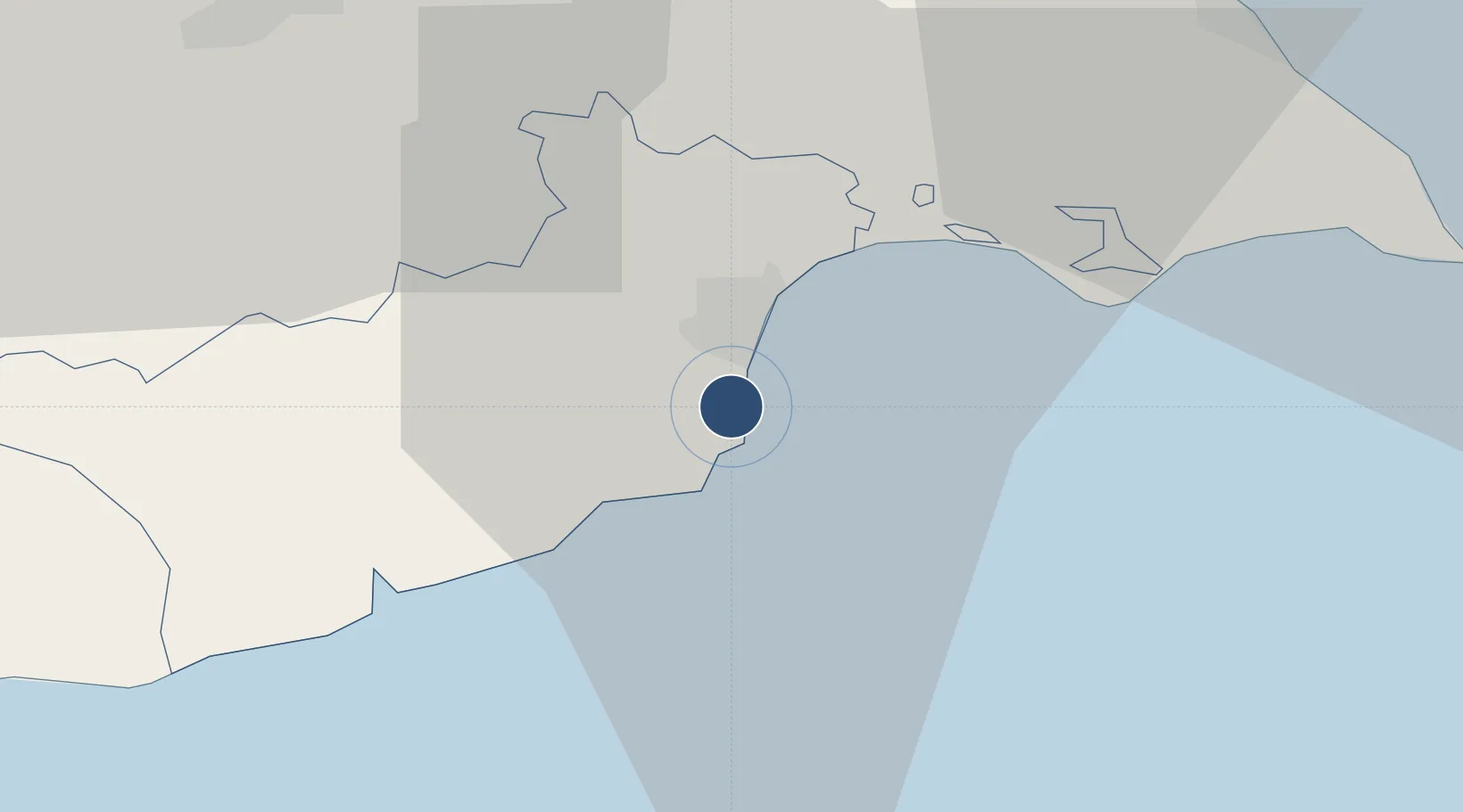
34.8751°, 33.6249°
9,823 ft
Longest runway
1
Runways
8 ft
Elevation

Runway & Layout

Larnaca International Airport runway & taxiway layout
Runway & taxiway layout — OpenStreetMap (ODbL) / OurAirports

Radio Frequencies

ATIS
126.55 MHz
TWR
119.4 MHz
APP
121.2 MHz
OurAirports

Navaids

LCA VOR-DME Larnaca 112.80 MHz
LCA NDB Larnaca 432 kHz
OurAirports

Runways · 1

RunwayDimensions SurfaceTrue headingLit
04/22 9,823 × 148ft Asphalt 045°
OurAirports

Airport Specifications

IATA code
LCA
OurAirports
ICAO code
LCLK
OurAirports
Airport class
Large airport
OurAirports
Scheduled service
Yes
OurAirports
Runway surface
Asphalt
OurAirports
Served city
Larnaca
OurAirports

Location

Location of LCLK
Natural Earth 10m (public domain) · Larnaca · LCLK · 34.88, 33.62GoogleOSMYandex

Nearby Logistics Neighbours

Airports
  1. 1Ercan International Airport33 km
  2. 2Lefkoniko Airport / Geçitkale Air Base41 km
  3. 3RAF Akrotiri66 km
  4. 4Paphos International Airport106 km
  5. 5Gazipaşa-Alanya Airport199 km
Nearest neighbours — logibook spatial index (haversine) over the source coordinates
Cities
  1. 1Larnaca5 km
  2. 2Dhekelia17 km
  3. 3Zyyi31 km
  4. 4Vasilikos33 km
  5. 5Ayia Napa36 km
Nearest neighbours — logibook spatial index (haversine) over the source coordinates
Ports
  1. 1Larnaca5 km
  2. 2Dhekelia13 km
  3. 3Famagusta39 km
  4. 4Limassol57 km
  5. 5Kyrenia59 km
Nearest neighbours — logibook spatial index (haversine) over the source coordinates
Trade Zones
  1. 1Larnaca Free Zone6 km
  2. 2Famagusta Free Port and Zone40 km
  3. 3Limassol Free Port61 km
  4. 4Port of Beirut Logistics Free Zone205 km
  5. 5Tartous Tartus Free Zone206 km
Nearest neighbours — logibook spatial index (haversine) over the source coordinates
DatabookThe Record of Consolidated Knowledge
Cyprus beyond logistics?
Browse databook

All Sources

AirportsOurAirports
Public domain
Portsthe NGA World Port Index
Public domain (US gov)
LocationsUN/LOCODE
UN/LOCODE — free
Trade Zonesthe World Bank SEZ database
CC BY 4.0
Trade ZonesOpen Zone Map
CC BY
InfrastructureOpenStreetMap
ODbL 1.0
← Cyprus airports