Medium airport · Cyprus

Lefkoniko Airport / Geçitkale Air BaseLCGK
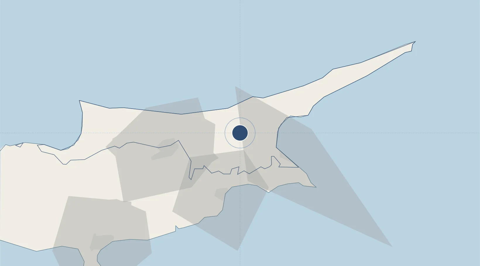
35.2359°, 33.7201°
146 ft
Elevation

Runway & Layout

Lefkoniko Airport / Geçitkale Air Base runway & taxiway layout
Runway & taxiway layout — OpenStreetMap (ODbL) / OurAirports

Airport Specifications

IATA code
GEC
OurAirports
ICAO code
LCGK
OurAirports
Airport class
Medium airport
OurAirports
Scheduled service
Yes
OurAirports
Served city
Lefkoniko (Geçitkale)
OurAirports

Location

Location of LCGK
Natural Earth 10m (public domain) · Northern Cyprus · LCGK · 35.24, 33.72GoogleOSMYandex

Nearby Logistics Neighbours

Airports
  1. 1Ercan International Airport21 km
  2. 2Larnaca International Airport41 km
  3. 3RAF Akrotiri98 km
  4. 4Paphos International Airport126 km
  5. 5Gazipaşa-Alanya Airport174 km
Nearest neighbours — logibook spatial index (haversine) over the source coordinates
Cities
  1. 1Famagusta26 km
  2. 2Dhekelia28 km
  3. 3Nicosia33 km
  4. 4Larnaca37 km
  5. 5Kyrenia37 km
Nearest neighbours — logibook spatial index (haversine) over the source coordinates
Ports
  1. 1Famagusta24 km
  2. 2Dhekelia30 km
  3. 3Larnaca36 km
  4. 4Kyrenia37 km
  5. 5Xeros81 km
Nearest neighbours — logibook spatial index (haversine) over the source coordinates
Trade Zones
  1. 1Famagusta Free Port and Zone23 km
  2. 2Larnaca Free Zone40 km
  3. 3Limassol Free Port91 km
  4. 4Latakia Lattakia Free Port189 km
  5. 5Mersin Free Zone195 km
Nearest neighbours — logibook spatial index (haversine) over the source coordinates
DatabookThe Record of Consolidated Knowledge
Cyprus beyond logistics?
Browse databook

All Sources

AirportsOurAirports
Public domain
Portsthe NGA World Port Index
Public domain (US gov)
LocationsUN/LOCODE
UN/LOCODE — free
Trade Zonesthe World Bank SEZ database
CC BY 4.0
Trade ZonesOpen Zone Map
CC BY
InfrastructureOpenStreetMap
ODbL 1.0
← Cyprus airports