Transport Functions
Port
Postal
Hub Profile
Place type
National capital
Region
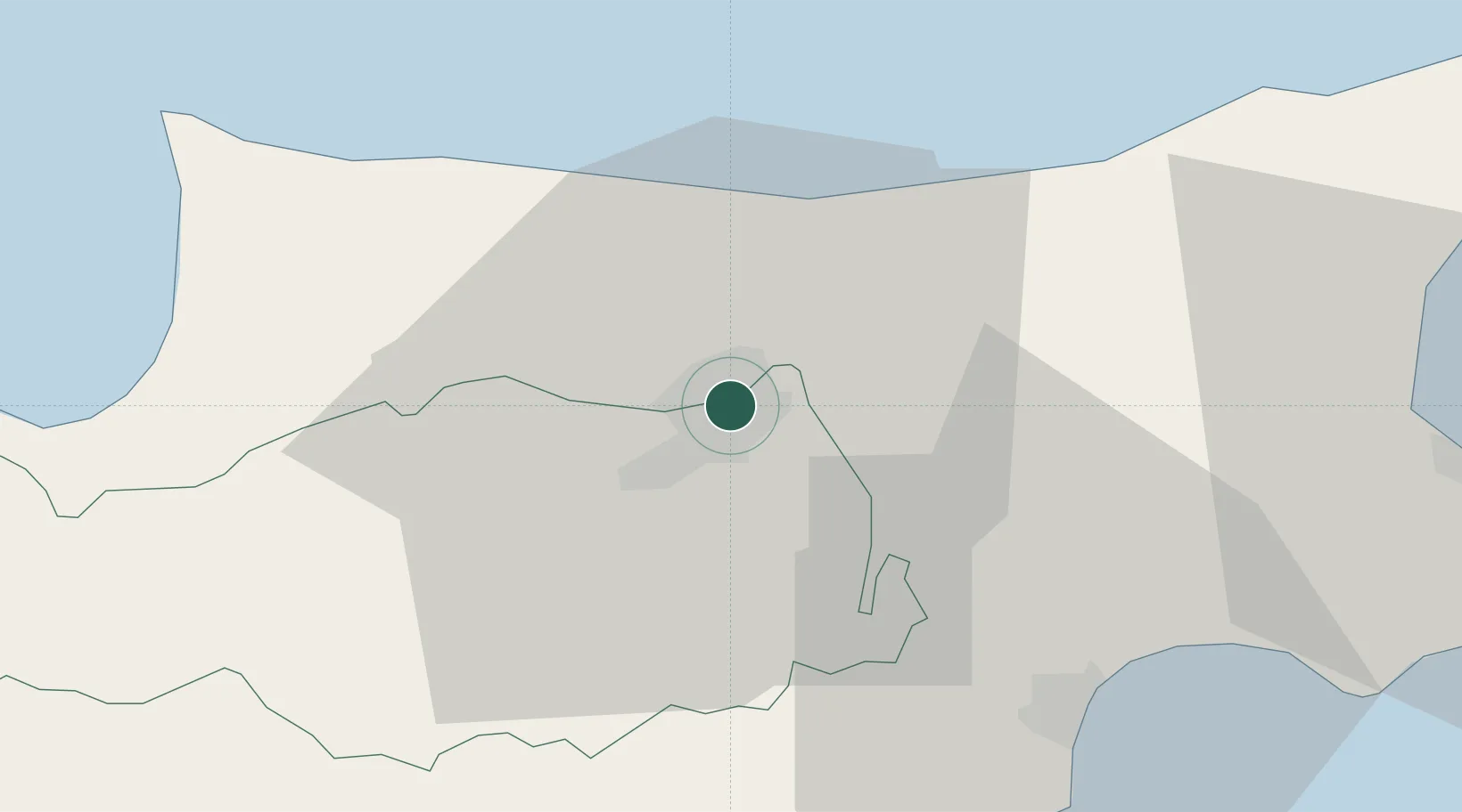
Nicosia
Population
200,452
Time zone
Asia/Nicosia
Elevation
155 m
Location
Nearby Logistics Neighbours
Cities
- 1Kyrenia19 km
- 2Larnaca36 km
- 3Dhekelia40 km
- 4Zyyi48 km
- 5Karavostasi49 km
Airports
Trade Zones
- 1Larnaca Free Zone34 km
- 2Famagusta Free Port and Zone52 km
- 3Limassol Free Port66 km
- 4Mersin Free Zone217 km
- 5Latakia Lattakia Free Port222 km
DatabookThe Record of Consolidated Knowledge
Cyprus beyond logistics?