Medium airport · Cyprus
RAF AkrotiriLCRA
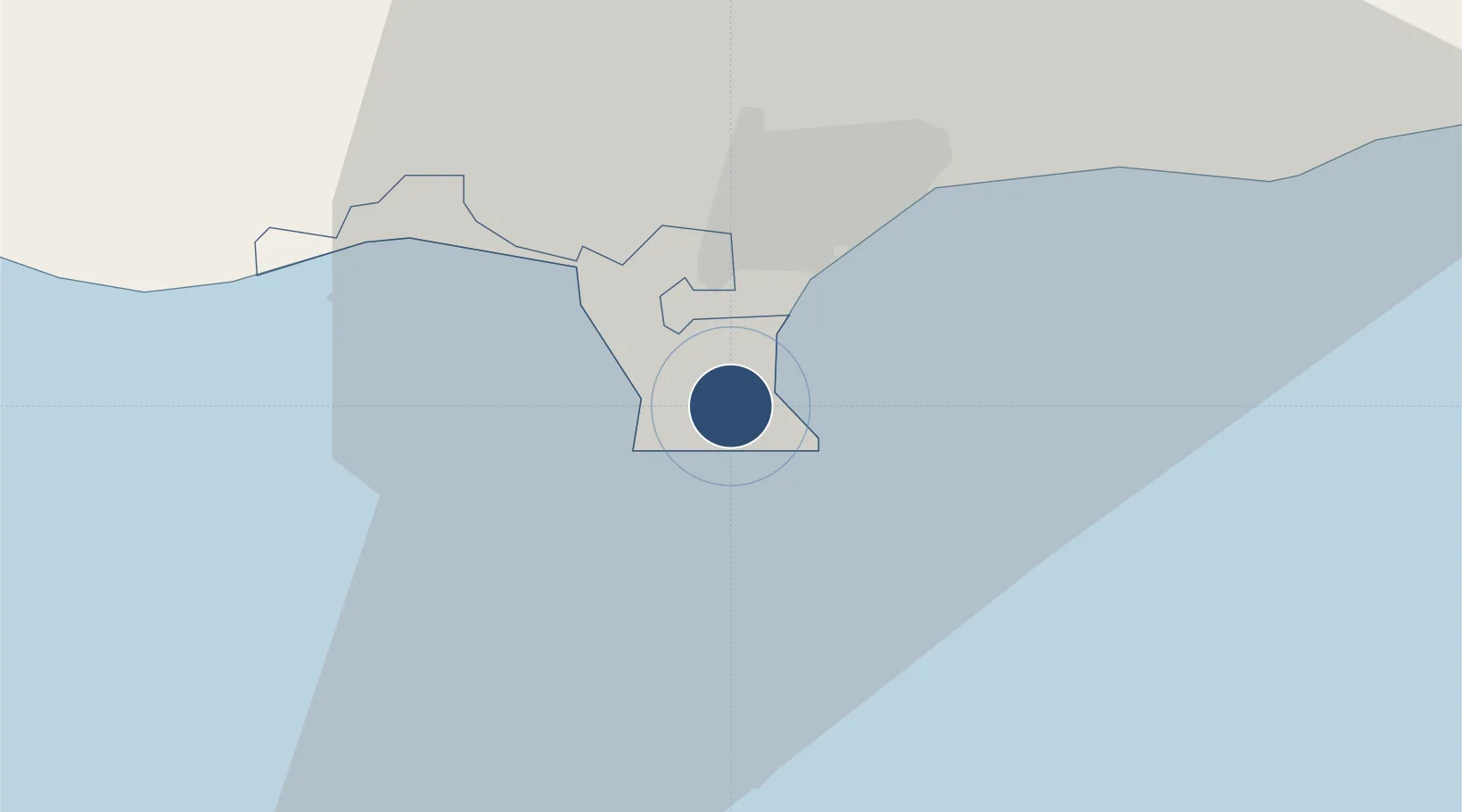
34.5904°, 32.9879°
9,002 ft
Longest runway
1
Runways
76 ft
Elevation
Runway & Layout

Radio Frequencies
ATIS
28.82 MHz
TWR
122.1 MHz
GND
26.1 MHz
APP
122.1 MHz
DIR
122.1 MHz
DIRECTOR
OPS
23.405 MHz
Navaids
AKR TACAN Akrotiri 116.00 MHz
Runways · 1
| Runway | Dimensions | Surface | True heading | Lit |
|---|---|---|---|---|
| 10/28 | 9,002 × 200ft | Asphalt | 108° | ✓ |
Airport Specifications
IATA code
AKT
ICAO code
LCRA
Airport class
Medium airport
Scheduled service
No
Runway surface
Asphalt
Served city
Akrotiri
Location
Nearby Logistics Neighbours
Airports
Trade Zones
- 1Limassol Free Port7 km
- 2Larnaca Free Zone63 km
- 3Famagusta Free Port and Zone106 km
- 4Port of Beirut Logistics Free Zone245 km
- 5Tripoli Special Economic Zone261 km
DatabookThe Record of Consolidated Knowledge
Cyprus beyond logistics?