Transport Functions
Port
Road
Hub Profile
Region
03
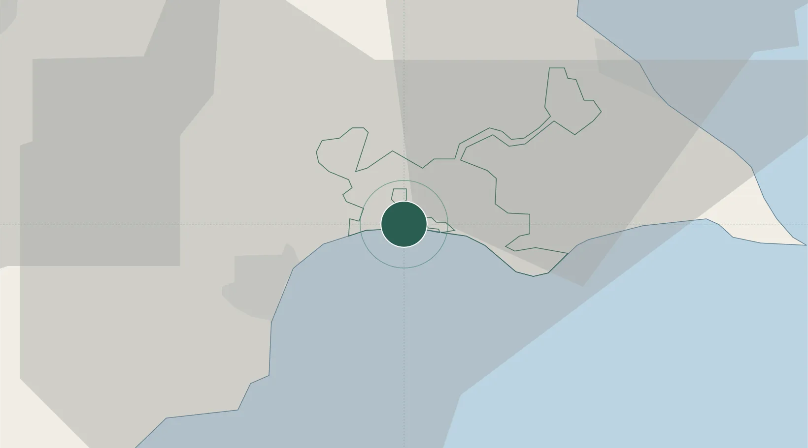
Location
Nearby Logistics Neighbours
Airports
Trade Zones
- 1Larnaca Free Zone19 km
- 2Famagusta Free Port and Zone24 km
- 3Limassol Free Port77 km
- 4Latakia Lattakia Free Port193 km
- 5Tartous Tartus Free Zone194 km
DatabookThe Record of Consolidated Knowledge
Cyprus beyond logistics?