Channel & Berth Profile
Pilotage, Tugs & Services
Pilotage compulsoryYES
Pilotage availableYES
Tug assistanceYES
Potable waterYES
Diesel bunkersYES
MedicalYES
Garbage disposalYES
Facilities & Capabilities
Container—
Ro-Ro—
Liquid bulk—
Dry bulk—
Oil terminal—
Break bulk—
Dry dockNO
RepairsNO
BunkeringYES
Rail link—
Dangerous cargo—
ISPS security—
Harbour Specifications
Harbour size
Very Small
Harbour type
Coastal (Breakwater)
Shelter
Fair
Water body
Mediterranean Sea; North Atlantic Ocean
Pilotage
Yes
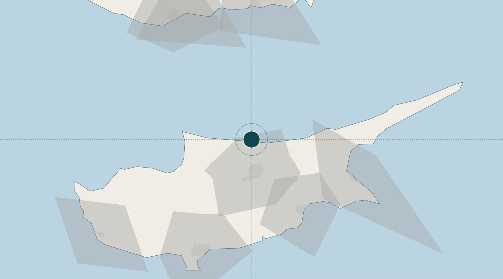
Location
Nearby Logistics Neighbours
Cities
- 1Nicosia21 km
- 2Karavostasi51 km
- 3Larnaca55 km
- 4Dhekelia56 km
- 5Famagusta63 km
Airports
Trade Zones
- 1Larnaca Free Zone54 km
- 2Famagusta Free Port and Zone60 km
- 3Limassol Free Port83 km
- 4Mersin Free Zone202 km
- 5Karaman Organized Industrial Zone207 km
DatabookThe Record of Consolidated Knowledge
Cyprus beyond logistics?