Large airport · Cyprus
Paphos International AirportLCPH
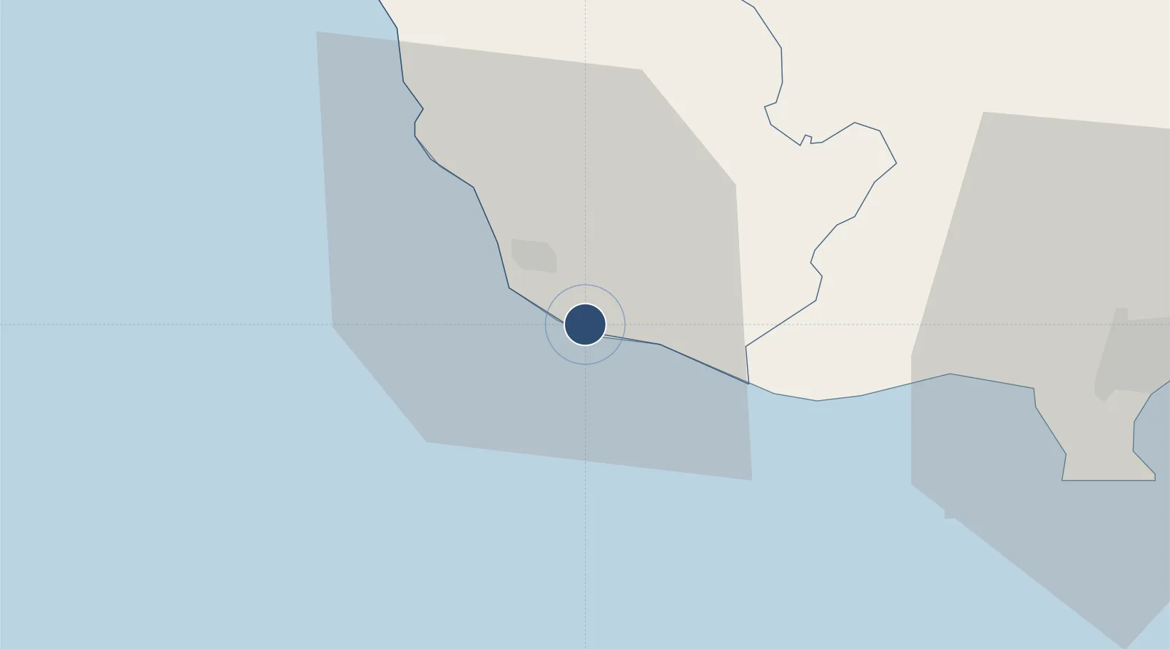
34.7180°, 32.4857°
8,858 ft
Longest runway
1
Runways
41 ft
Elevation
Runway & Layout

Radio Frequencies
TWR
119.9 MHz
APP
120.8 MHz
Navaids
PHA TACAN Pafos 113.20 MHz
PHA VOR-DME Pafos 117.90 MHz
PHA NDB Pafos 328 kHz
Runways · 1
| Runway | Dimensions | Surface | True heading | Lit |
|---|---|---|---|---|
| 11/29 | 8,858 × 148ft | Asphalt | 110° | ✓ |
Airport Specifications
IATA code
PFO
ICAO code
LCPH
Airport class
Large airport
Scheduled service
Yes
Runway surface
Asphalt
Served city
Paphos
Location
Nearby Logistics Neighbours
Airports
- 1RAF Akrotiri48 km
- 2Ercan International Airport105 km
- 3Larnaca International Airport106 km
- 4Lefkoniko Airport / Geçitkale Air Base126 km
- 5Gazipaşa-Alanya Airport177 km
Cities
- 1Paphos8 km
- 2Latchi36 km
- 3Akrotiri44 km
- 4Limassol48 km
- 5Karavostasi56 km
Trade Zones
- 1Limassol Free Port49 km
- 2Larnaca Free Zone101 km
- 3Famagusta Free Port and Zone140 km
- 4Karaman Organized Industrial Zone287 km
- 5Antalya Free Zone291 km
DatabookThe Record of Consolidated Knowledge
Cyprus beyond logistics?