Transport Functions
Port
Road
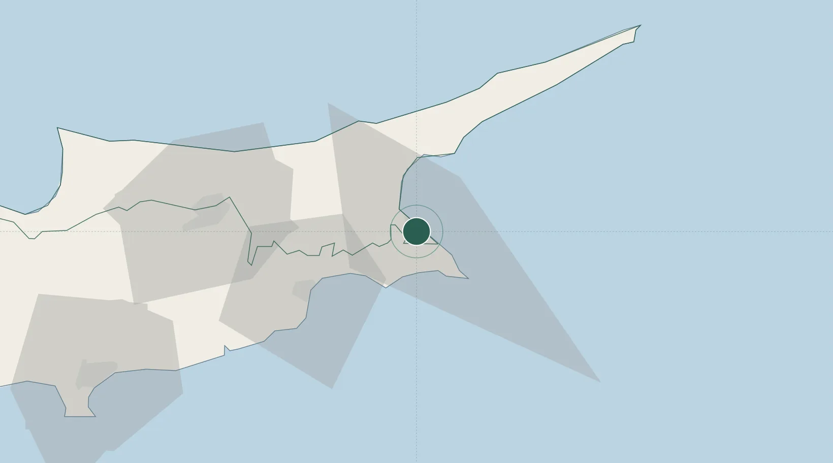
Hub Profile
Place type
Regional capital
Region
Ammochostos
Population
42,526
Time zone
Asia/Famagusta
Elevation
12 m
Location
Nearby Logistics Neighbours
Airports
Trade Zones
- 1Famagusta Free Port and Zone4 km
- 2Larnaca Free Zone41 km
- 3Limassol Free Port99 km
- 4Latakia Lattakia Free Port172 km
- 5Tartous Tartus Free Zone177 km
DatabookThe Record of Consolidated Knowledge
Cyprus beyond logistics?