Transport Functions
Port
Airport
Postal
Hub Profile
Place type
Regional capital
Region
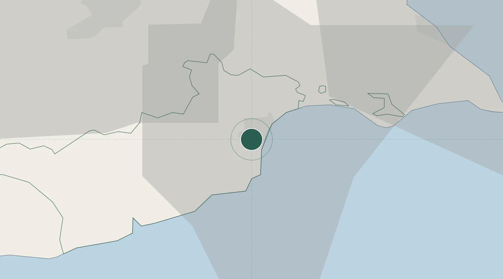
Larnaka
Population
72,000
Time zone
Asia/Nicosia
Elevation
24 m
Location
Nearby Logistics Neighbours
Airports
Trade Zones
- 1Larnaca Free Zone5 km
- 2Famagusta Free Port and Zone38 km
- 3Limassol Free Port62 km
- 4Tartous Tartus Free Zone206 km
- 5Latakia Lattakia Free Port207 km
DatabookThe Record of Consolidated Knowledge
Cyprus beyond logistics?