Channel & Berth Profile
Pilotage, Tugs & Services
Pilotage compulsoryNO
Pilotage availableYES
Pilotage advisableYES
Tug assistanceYES
Salvage tugsYES
Potable waterYES
Diesel bunkersYES
MedicalYES
Garbage disposalYES
Facilities & Capabilities
Container—
Ro-Ro—
Liquid bulk—
Dry bulk—
Oil terminal—
Break bulk—
Dry dock—
RepairsNO
BunkeringYES
Rail link—
Dangerous cargo—
ISPS security—
Harbour Specifications
Harbour size
Small
Harbour type
Coastal (Breakwater)
Shelter
Fair
Water body
Mediterranean Sea; North Atlantic Ocean
Tidal range
1 m
Overhead limit
No
Pilotage
No
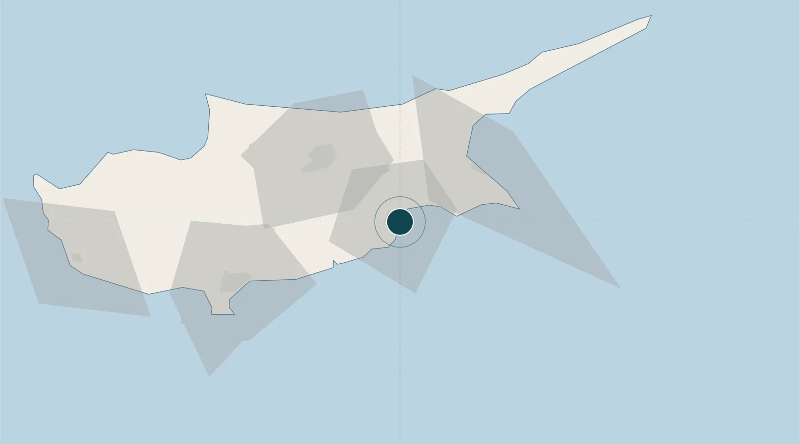
Location
Nearby Logistics Neighbours
Airports
Trade Zones
- 1Larnaca Free Zone8 km
- 2Famagusta Free Port and Zone36 km
- 3Limassol Free Port65 km
- 4Tartous Tartus Free Zone203 km
- 5Latakia Lattakia Free Port204 km
DatabookThe Record of Consolidated Knowledge
Cyprus beyond logistics?