Free Trade Zone · China

Songxian Industrial Cluster Active
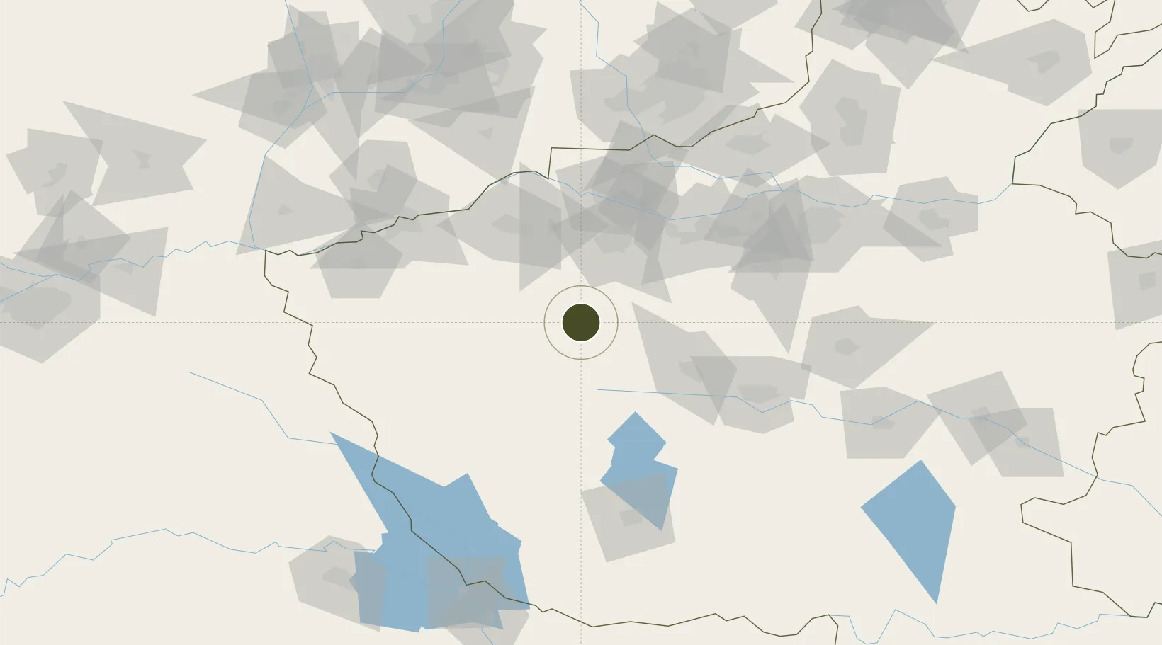
34.1802°, 112.2362°
983 ha
Zone area
443.7 km
Nearest port
63.9 km
Nearest airport

Gateway access

Nearest neighbours — logibook spatial index (haversine) over the source coordinates

Zone profile

Zone type
Free Trade Zone
Open Zone Map
Region
Henan
Open Zone Map
Status
Active
Open Zone Map
Management
Public
Open Zone Map
Operator
Management Committee of Industrial Cluster Area, Song County, Henan Province
Open Zone Map
Legal framework
Unavailable
Open Zone Map

Location

Location of ozm-1536
Natural Earth 10m (public domain) · Henan · ozm-1536 · 34.18, 112.24GoogleOSMYandex

Nearby Logistics Neighbours

Ports
  1. 1Hankow444 km
  2. 2Nanjing650 km
  3. 3Lanshan660 km
  4. 4Lianyungang664 km
  5. 5Rizhao683 km
Nearest neighbours — logibook spatial index (haversine) over the source coordinates
Airports
  1. 1Luoyang Beijiao Airport64 km
  2. 2Luyang Air Base82 km
  3. 3Nanyang Jiangying Airport138 km
  4. 4Yuncheng Yanhu International Airport152 km
  5. 5Zhengzhou Xinzheng International Airport153 km
Nearest neighbours — logibook spatial index (haversine) over the source coordinates
Cities
  1. 1Luoyang57 km
  2. 2Pingdingshan110 km
  3. 3Nanyang134 km
  4. 4Jiaozuo145 km
  5. 5Zhengzhou146 km
Nearest neighbours — logibook spatial index (haversine) over the source coordinates
Trade Zones
  1. 1Ruyang County Industrial Cluster32 km
  2. 2Ruzhou Industrial Cluster55 km
  3. 3Luoning County Industrial Cluster55 km
  4. 4Luoyang Industrial Park60 km
  5. 5Luoyang Petrochemical Industry Cluster61 km
Nearest neighbours — logibook spatial index (haversine) over the source coordinates
DatabookThe Record of Consolidated Knowledge
China beyond logistics?
Browse databook

All Sources

Trade ZonesOpen Zone Map
CC BY
Portsthe NGA World Port Index
Public domain (US gov)
AirportsOurAirports
Public domain
LocationsUN/LOCODE
UN/LOCODE — free
← China trade zones