Transport Functions
Rail
Road
Airport
Hub Profile
Place type
Provincial seat
Region
Henan
Population
1,390,581
Time zone
Asia/Shanghai
Elevation
128 m
Logistics facilities
1
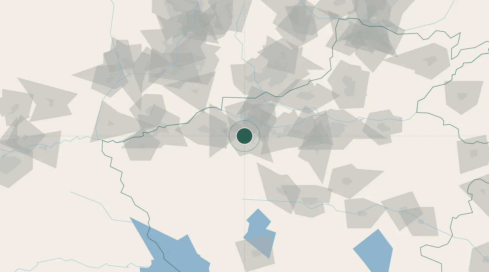
Location
Nearby Logistics Neighbours
Cities
- 1Jiaozuo95 km
- 2Jincheng99 km
- 3Zhengzhou119 km
- 4Zhengzhoudong Railway Station128 km
- 5Yuncheng130 km
Ports
- 1Hankow489 km
- 2Lanshan640 km
- 3Lianyungang647 km
- 4Nanjing659 km
- 5Rizhao660 km
Airports
- 1Luoyang Beijiao Airport7 km
- 2Luyang Air Base121 km
- 3Zhengzhou Air Base126 km
- 4Yuncheng Yanhu International Airport131 km
- 5Zhengzhou Xinzheng International Airport137 km
DatabookThe Record of Consolidated Knowledge
China beyond logistics?