Diversified Zone · China

Luoyang Petrochemical Industry Cluster Active
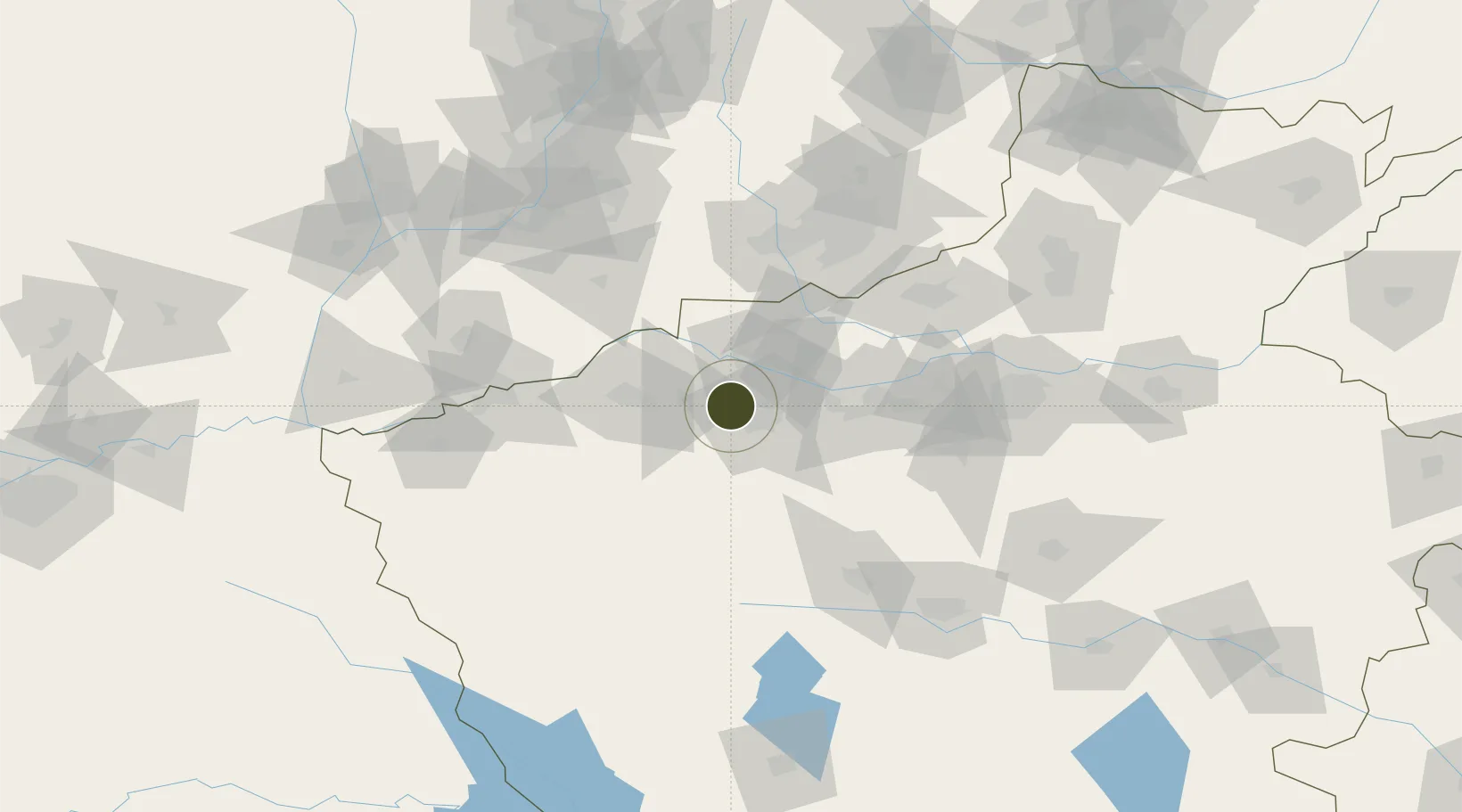
34.7224°, 112.2940°
1,326 ha
Zone area
496.5 km
Nearest port
8.8 km
Nearest airport

Gateway access

Nearest neighbours — logibook spatial index (haversine) over the source coordinates

Zone profile

Zone type
Diversified Zone
Open Zone Map
Region
Henan
Open Zone Map
Status
Active
Open Zone Map
Management
Public
Open Zone Map
Operator
Luoyang Petrochemical Industry Cluster Management Committee
Open Zone Map
Legal framework
It was established in September 2000
Open Zone Map

Location

Location of ozm-745
Natural Earth 10m (public domain) · Henan · ozm-745 · 34.72, 112.29GoogleOSMYandex

Nearby Logistics Neighbours

Ports
  1. 1Hankow497 km
  2. 2Lanshan646 km
  3. 3Lianyungang654 km
  4. 4Rizhao666 km
  5. 5Nanjing667 km
Nearest neighbours — logibook spatial index (haversine) over the source coordinates
Airports
  1. 1Luoyang Beijiao Airport9 km
  2. 2Yuncheng Yanhu International Airport123 km
  3. 3Luyang Air Base128 km
  4. 4Zhengzhou Air Base132 km
  5. 5Zhengzhou Xinzheng International Airport144 km
Nearest neighbours — logibook spatial index (haversine) over the source coordinates
Cities
  1. 1Luoyang8 km
  2. 2Jiaozuo98 km
  3. 3Jincheng98 km
  4. 4Yuncheng122 km
  5. 5Zhengzhou126 km
Nearest neighbours — logibook spatial index (haversine) over the source coordinates
Trade Zones
  1. 1Luoyang Industrial Park8 km
  2. 2Huayang Industrial Cluster Area29 km
  3. 3Qingcheng Yima Industrial Concentration Zone40 km
  4. 4Yima City Coal Chemical Industry Cluster40 km
  5. 5Mengzhou High-tech Industrial Development Zone41 km
Nearest neighbours — logibook spatial index (haversine) over the source coordinates
DatabookThe Record of Consolidated Knowledge
China beyond logistics?
Browse databook

All Sources

Trade ZonesOpen Zone Map
CC BY
Portsthe NGA World Port Index
Public domain (US gov)
AirportsOurAirports
Public domain
LocationsUN/LOCODE
UN/LOCODE — free
← China trade zones