Export Processing Zone · China

Luoning County Industrial Cluster Active
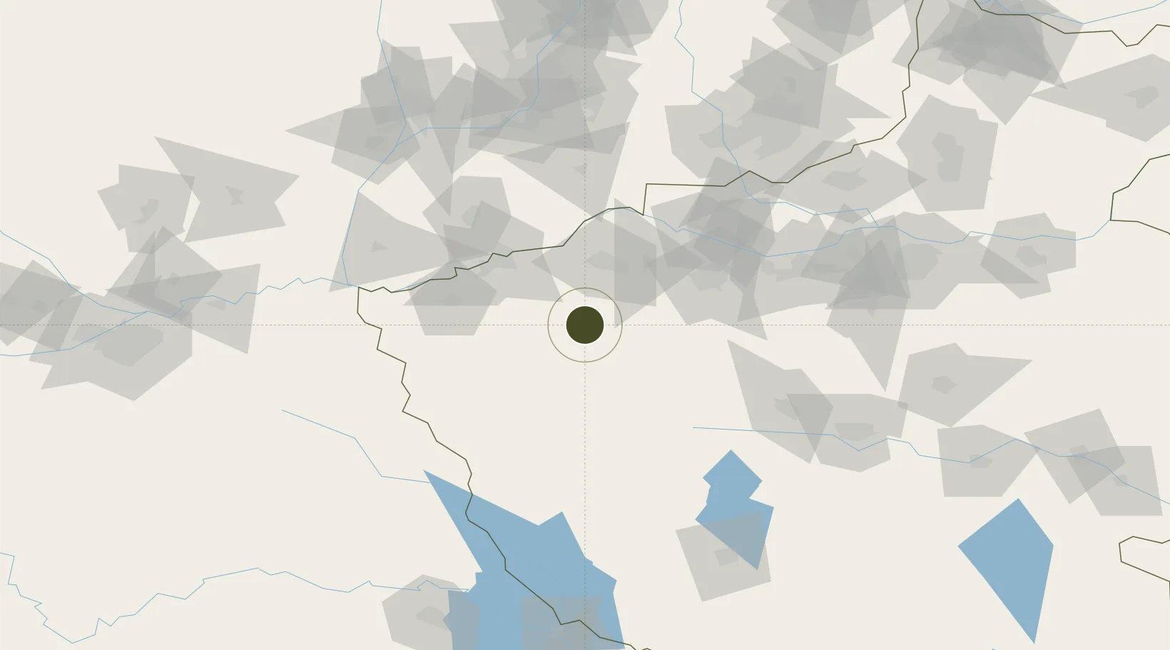
34.3895°, 111.6900°
140 ha
Zone area
488.1 km
Nearest port
74.9 km
Nearest airport

Gateway access

Nearest neighbours — logibook spatial index (haversine) over the source coordinates

Zone profile

Zone type
Export Processing Zone
Open Zone Map
Region
Henan
Open Zone Map
Status
Active
Open Zone Map
Management
Public
Open Zone Map
Operator
Management Committee of Luoning County Industrial Cluster
Open Zone Map
Legal framework
Established in 2006
Open Zone Map

Location

Location of ozm-1046
Natural Earth 10m (public domain) · Henan · ozm-1046 · 34.39, 111.69GoogleOSMYandex

Nearby Logistics Neighbours

Ports
  1. 1Hankow488 km
  2. 2Nanjing705 km
  3. 3Lanshan706 km
  4. 4Lianyungang711 km
  5. 5Rizhao727 km
Nearest neighbours — logibook spatial index (haversine) over the source coordinates
Airports
  1. 1Luoyang Beijiao Airport75 km
  2. 2Yuncheng Yanhu International Airport101 km
  3. 3Luyang Air Base136 km
  4. 4Nanyang Jiangying Airport178 km
  5. 5Zhengzhou Air Base194 km
Nearest neighbours — logibook spatial index (haversine) over the source coordinates
Cities
  1. 1Luoyang70 km
  2. 2Yuncheng94 km
  3. 3Houma140 km
  4. 4Jincheng160 km
  5. 5Jiaozuo164 km
Nearest neighbours — logibook spatial index (haversine) over the source coordinates
DatabookThe Record of Consolidated Knowledge
China beyond logistics?
Browse databook

All Sources

Trade ZonesOpen Zone Map
CC BY
Portsthe NGA World Port Index
Public domain (US gov)
AirportsOurAirports
Public domain
LocationsUN/LOCODE
UN/LOCODE — free
← China trade zones