Small airport · China

Nanyang Jiangying AirportZHNY
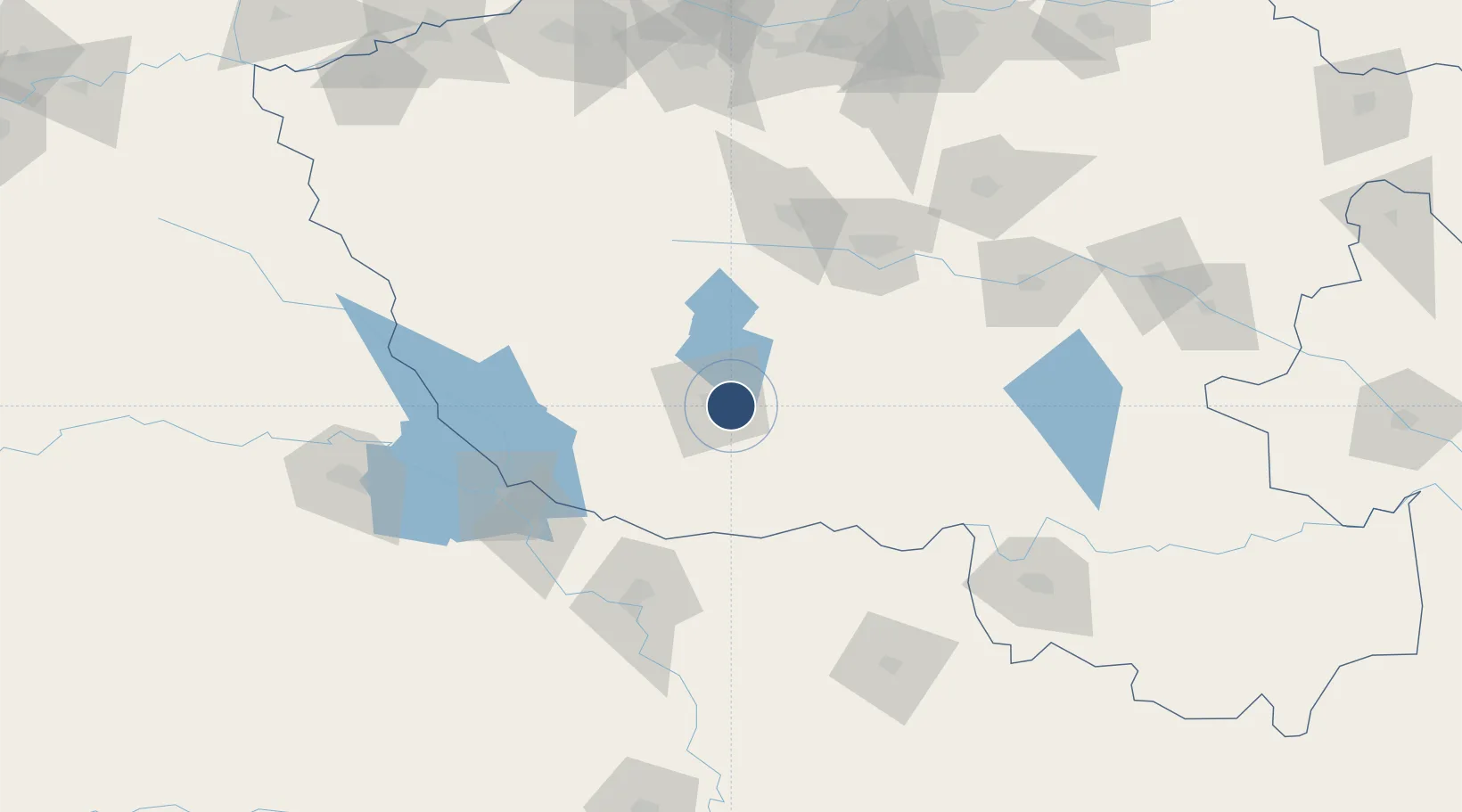
32.9827°, 112.6175°
9,186 ft
Longest runway
1
Runways
840 ft
Elevation

Runway & Layout

Nanyang Jiangying Airport runway & taxiway layout
Runway & taxiway layout — OpenStreetMap (ODbL) / OurAirports

Runways · 1

RunwayDimensions SurfaceTrue headingLit
05/23 9,186 × —ft
OurAirports

Airport Specifications

IATA code
NNY
OurAirports
ICAO code
ZHNY
OurAirports
Airport class
Small airport
OurAirports
Scheduled service
Yes
OurAirports
Served city
Nanyang (Wancheng)
OurAirports

Location

Location of ZHNY
Natural Earth 10m (public domain) · Henan · ZHNY · 32.98, 112.62GoogleOSMYandex

Nearby Logistics Neighbours

Airports
  1. 1Luyang Air Base82 km
  2. 2Xiangyang Liuji Airport97 km
  3. 3Guangzhou MR Air Base / Guanghua Airport109 km
  4. 4Xinyang Minggang Airport145 km
  5. 5Shiyan Wudangshan Airport166 km
Nearest neighbours — logibook spatial index (haversine) over the source coordinates
Cities
  1. 1Nanyang8 km
  2. 2Pingdingshan105 km
  3. 3Xiangfan115 km
  4. 4Huangbu146 km
  5. 5Xinyang164 km
Nearest neighbours — logibook spatial index (haversine) over the source coordinates
Ports
  1. 1Hankow310 km
  2. 2Nanjing583 km
  3. 3Yangzhou643 km
  4. 4Zhenjiang644 km
  5. 5Lianyungang660 km
Nearest neighbours — logibook spatial index (haversine) over the source coordinates
Trade Zones
  1. 1Zhenping County Industrial Cluster38 km
  2. 2Tanghe County Industrial Cluster41 km
  3. 3Fangcheng County Industrial Cluster44 km
  4. 4Xinye County Industrial Cluster56 km
  5. 5Yexian Industrial Cluster101 km
Nearest neighbours — logibook spatial index (haversine) over the source coordinates
DatabookThe Record of Consolidated Knowledge
China beyond logistics?
Browse databook

All Sources

AirportsOurAirports
Public domain
Portsthe NGA World Port Index
Public domain (US gov)
LocationsUN/LOCODE
UN/LOCODE — free
Trade Zonesthe World Bank SEZ database
CC BY 4.0
Trade ZonesOpen Zone Map
CC BY
InfrastructureOpenStreetMap
ODbL 1.0
← China airports