Export Processing Zone · China
Luoyang Industrial Park Active
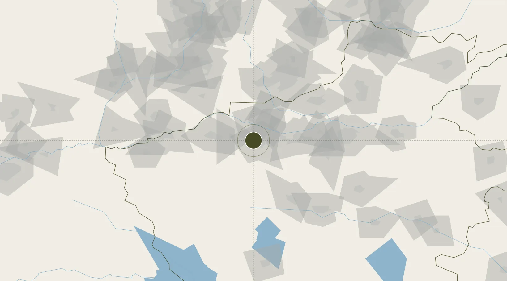
34.7037°, 112.3761°
1,816 ha
Zone area
491.7 km
Nearest port
4.3 km
Nearest airport
Gateway access
Zone profile
Zone type
Export Processing Zone
Region
Henan
Status
Active
Management
Public
Operator
Working Committee of Luoyang Industrial Park
Legal framework
Development Planning of Luoyang High-end Equipment Manufacturing Industrial Park (2019-2025)
Location
Nearby Logistics Neighbours
Ports
- 1Hankow492 km
- 2Lanshan639 km
- 3Lianyungang646 km
- 4Rizhao659 km
- 5Nanjing659 km
Airports
- 1Luoyang Beijiao Airport4 km
- 2Luyang Air Base123 km
- 3Zhengzhou Air Base125 km
- 4Yuncheng Yanhu International Airport131 km
- 5Zhengzhou Xinzheng International Airport136 km
Cities
- 1Luoyang3 km
- 2Jiaozuo93 km
- 3Jincheng96 km
- 4Zhengzhou118 km
- 5Zhengzhoudong Railway Station127 km
DatabookThe Record of Consolidated Knowledge
China beyond logistics?