Free Trade Zone · China

Ruyang County Industrial Cluster Active
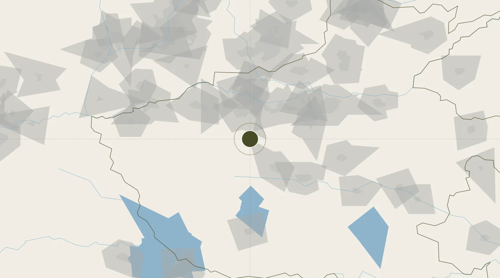
34.2980°, 112.5530°
786 ha
Zone area
443.8 km
Nearest port
51.5 km
Nearest airport

Gateway access

Nearest neighbours — logibook spatial index (haversine) over the source coordinates

Zone profile

Zone type
Free Trade Zone
Open Zone Map
Region
Henan
Open Zone Map
Status
Active
Open Zone Map
Management
Public
Open Zone Map
Operator
Working Committee of Ruyang County Industrial Cluster
Open Zone Map
Legal framework
Ruyang Green Building Materials Industrial Park Development Plan and Ruyang County Industrial Agglomeration Area Overall Development Plan
Open Zone Map

Location

Location of ozm-1529
Natural Earth 10m (public domain) · Henan · ozm-1529 · 34.30, 112.55GoogleOSMYandex

Nearby Logistics Neighbours

Ports
  1. 1Hankow444 km
  2. 2Nanjing627 km
  3. 3Lanshan629 km
  4. 4Lianyungang634 km
  5. 5Rizhao651 km
Nearest neighbours — logibook spatial index (haversine) over the source coordinates
Airports
  1. 1Luoyang Beijiao Airport52 km
  2. 2Luyang Air Base75 km
  3. 3Zhengzhou Xinzheng International Airport122 km
  4. 4Zhengzhou Air Base125 km
  5. 5Nanyang Jiangying Airport146 km
Nearest neighbours — logibook spatial index (haversine) over the source coordinates
Cities
  1. 1Luoyang46 km
  2. 2Pingdingshan93 km
  3. 3Zhengzhou115 km
  4. 4Jiaozuo119 km
  5. 5Zhengzhoudong Railway Station122 km
Nearest neighbours — logibook spatial index (haversine) over the source coordinates
Trade Zones
  1. 1Songxian Industrial Cluster32 km
  2. 2Ruzhou Industrial Cluster34 km
  3. 3Luoyang Industrial Park48 km
  4. 4Luoyang Petrochemical Industry Cluster53 km
  5. 5Shilong Industrial Cluster Area55 km
Nearest neighbours — logibook spatial index (haversine) over the source coordinates
DatabookThe Record of Consolidated Knowledge
China beyond logistics?
Browse databook

All Sources

Trade ZonesOpen Zone Map
CC BY
Portsthe NGA World Port Index
Public domain (US gov)
AirportsOurAirports
Public domain
LocationsUN/LOCODE
UN/LOCODE — free
← China trade zones