Transport Functions
Multimodal
Hub Profile
Place type
Local administrative seat
Region
Guangdong
Time zone
Asia/Shanghai
Elevation
51 m
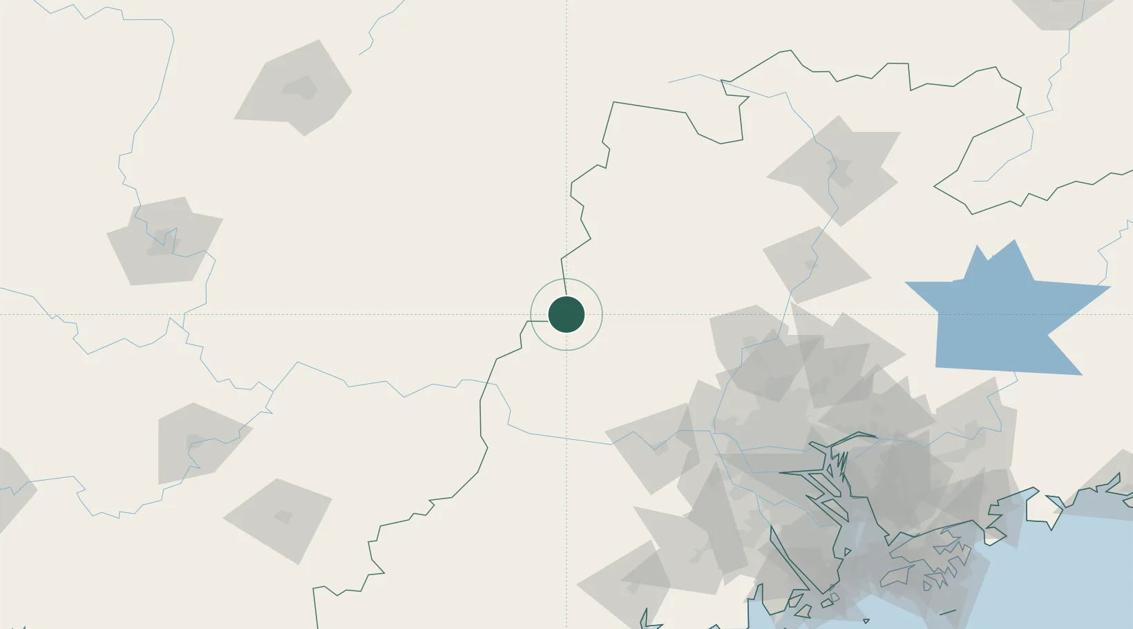
Location
Nearby Logistics Neighbours
Cities
- 1Jiangkou63 km
- 2Cangwu74 km
- 3Nanjiangkou86 km
- 4Liudu91 km
- 5Wuzhou92 km
Ports
- 1Guangzhou161 km
- 2Huangpu178 km
- 3Huangpuxingang188 km
- 4Zhuhai252 km
- 5Macau255 km
Airports
- 1Wuzhou Xijiang Airport98 km
- 2Foshan Shadi Airport149 km
- 3Guangzhou Baiyun International Airport153 km
- 4Shaoguan Danxia Airport196 km
- 5Guiping Mengxu Air Base202 km
Trade Zones
DatabookThe Record of Consolidated Knowledge
China beyond logistics?