Diversified Zone · China

Teng County Zhonghe Ceramic Industrial Park Active
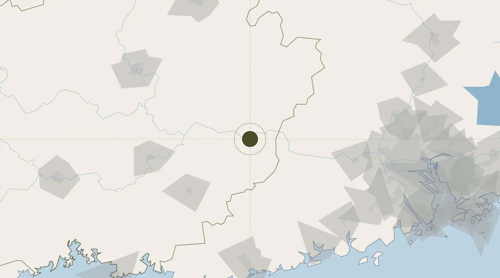
23.3553°, 111.0054°
867 ha
Zone area
208.3 km
Nearest port
10.4 km
Nearest airport

Gateway access

Nearest neighbours — logibook spatial index (haversine) over the source coordinates

Zone profile

Zone type
Diversified Zone
Open Zone Map
Region
Guangxi
Open Zone Map
Status
Active
Open Zone Map
Management
Public
Open Zone Map
Operator
Management Committee of Teng County Zhonghe Ceramic Industrial Park
Open Zone Map
Legal framework
Guangxi Provincial Committee of the Communist Party of China, Guangxi Provincial People's Government: Decision on Accelerating the Construction of a Modern Industrial System (July 27, 2020), Several Opinions of the General Office of the State Council on P
Open Zone Map

Location

Location of ozm-5283
Natural Earth 10m (public domain) · Guangxi · ozm-5283 · 23.36, 111.01GoogleOSMYandex

Nearby Logistics Neighbours

Ports
  1. 1Shui Dong208 km
  2. 2Guangzhou229 km
  3. 3Zhanjiang248 km
  4. 4Huangpu248 km
  5. 5Huangpuxingang257 km
Nearest neighbours — logibook spatial index (haversine) over the source coordinates
Airports
  1. 1Wuzhou Xijiang Airport10 km
  2. 2Guiping Mengxu Air Base102 km
  3. 3Yulin Fumian Airport137 km
  4. 4Liuzhou Bailian Airport / Bailian Air Base190 km
  5. 5Zhanjiang Wuchuan International Airport213 km
Nearest neighbours — logibook spatial index (haversine) over the source coordinates
Cities
  1. 1Cangwu35 km
  2. 2Jiangkou52 km
  3. 3Liuzhou67 km
  4. 4Wuzhou74 km
  5. 5Nanjiangkou85 km
Nearest neighbours — logibook spatial index (haversine) over the source coordinates
DatabookThe Record of Consolidated Knowledge
China beyond logistics?
Browse databook

All Sources

Trade ZonesOpen Zone Map
CC BY
Portsthe NGA World Port Index
Public domain (US gov)
AirportsOurAirports
Public domain
LocationsUN/LOCODE
UN/LOCODE — free
← China trade zones