Diversified Zone · China
Changzhou Industrial Park Active
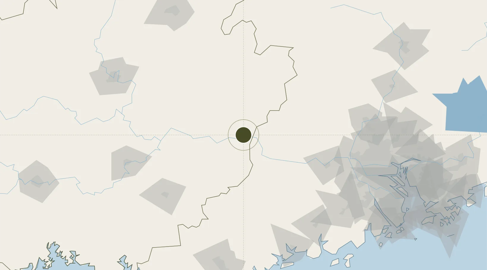
23.4898°, 111.2778°
27 ha
Zone area
204.0 km
Nearest port
21.1 km
Nearest airport
Gateway access
Zone profile
Zone type
Diversified Zone
Region
Guangxi
Status
Active
Management
Public
Operator
Wuzhou Changzhou Industrial Park Management Committee
Legal framework
Guangxi Provincial Committee of the Communist Party of China, Guangxi Provincial People's Government: Decision on Accelerating the Construction of a Modern Industrial System (July 27, 2020), Several Opinions of the General Office of the State Council on P
Location
Nearby Logistics Neighbours
Ports
- 1Guangzhou204 km
- 2Huangpu223 km
- 3Shui Dong224 km
- 4Huangpuxingang232 km
- 5Zhanjiang270 km
Airports
- 1Wuzhou Xijiang Airport21 km
- 2Guiping Mengxu Air Base131 km
- 3Yulin Fumian Airport167 km
- 4Foshan Shadi Airport189 km
- 5Guangzhou Baiyun International Airport207 km
Cities
- 1Cangwu4 km
- 2Jiangkou23 km
- 3Wuzhou60 km
- 4Nanjiangkou68 km
- 5Changan77 km
DatabookThe Record of Consolidated Knowledge
China beyond logistics?