Runway & Layout

Airport Specifications
Airport class
Medium airport
Scheduled service
No
Served city
Siping
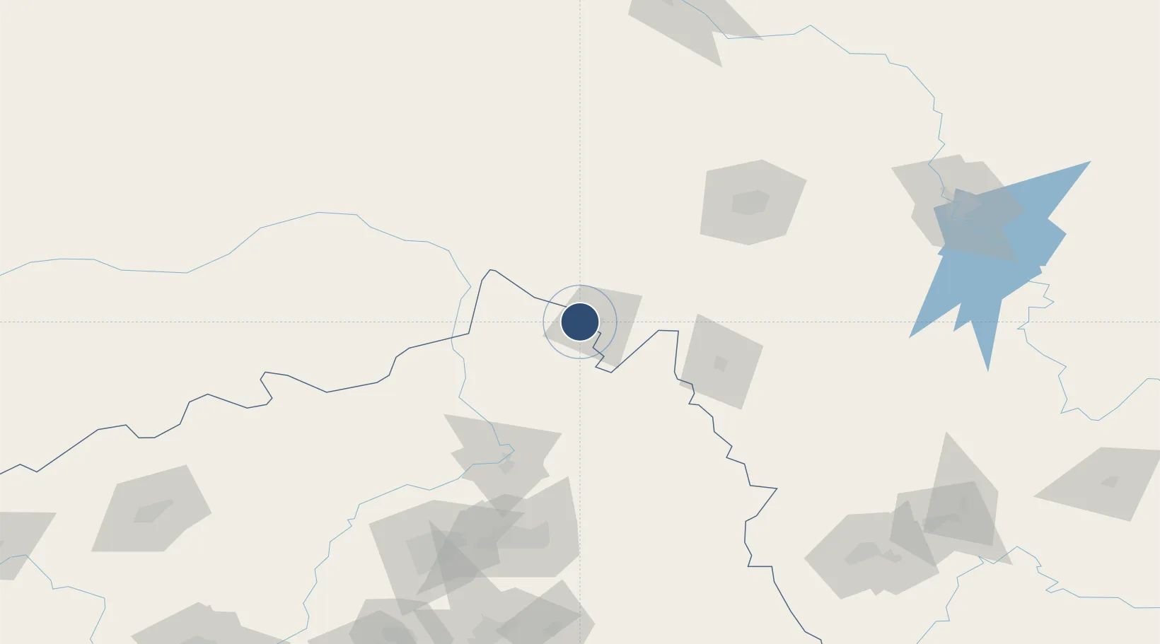
Location
Nearby Logistics Neighbours
Airports
- 1Gongzhuling Air Base57 km
- 2Kaiyuan Air Base75 km
- 3Changchun Air Base111 km
- 4Changchun Longjia International Airport146 km
- 5Shenyang Beiling Air Base159 km
Ports
- 1Yingkou324 km
- 2Bayuquan367 km
- 3Dandong372 km
- 4Jinzhou Wan376 km
- 5Huludao Gang387 km
DatabookThe Record of Consolidated Knowledge
China beyond logistics?