Transport Functions
Port
Rail
Road
Hub Profile
Place type
Populated place
Region
Guizhou
Time zone
Asia/Shanghai
Elevation
1,014 m
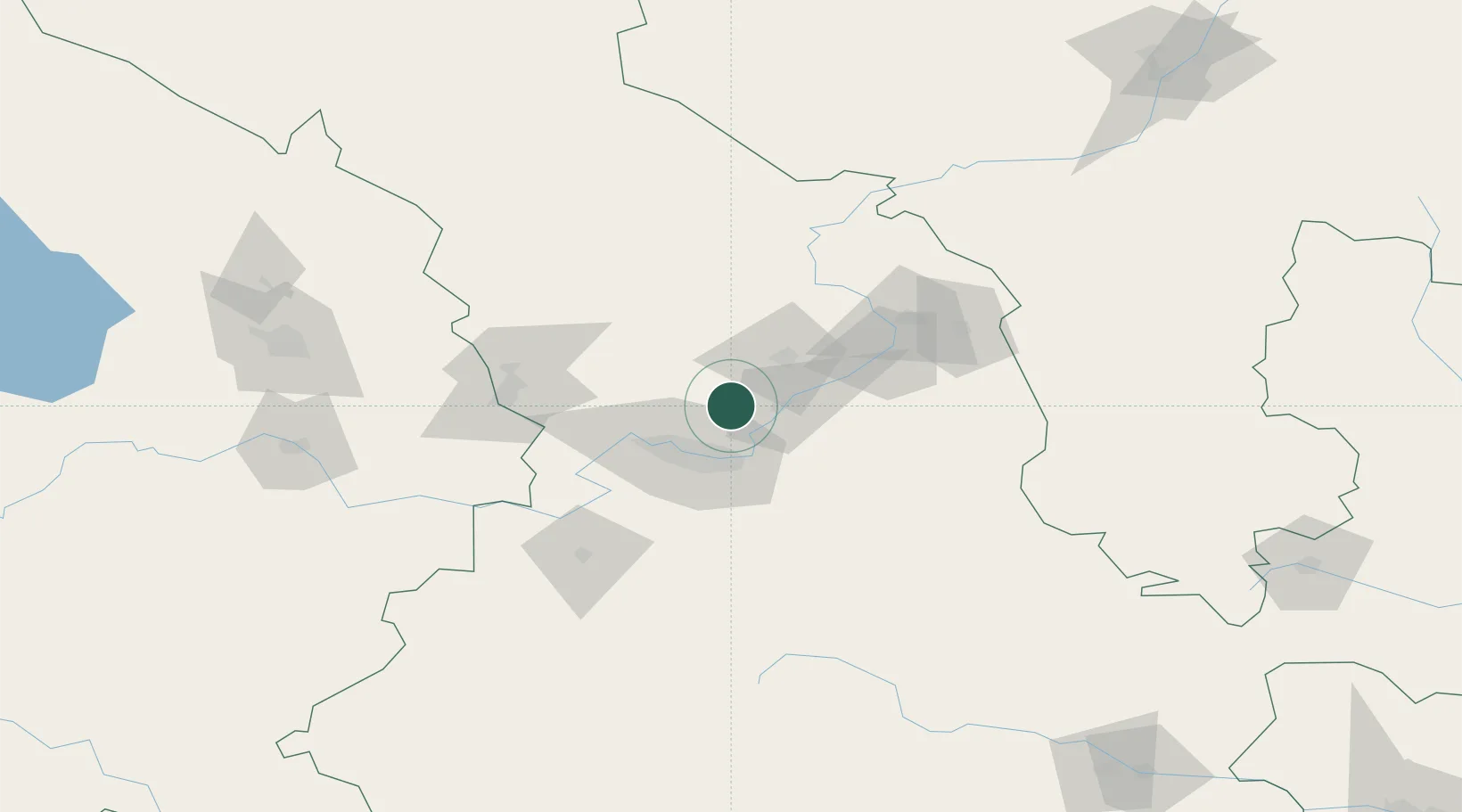
Location
Nearby Logistics Neighbours
Ports
- 1Hankow1152 km
- 2Tianjin Xin Gang1258 km
- 3Guangzhou1719 km
- 4Huangpu1731 km
- 5Huangpuxingang1739 km
Airports
DatabookThe Record of Consolidated Knowledge
China beyond logistics?