Export Processing Zone · China

Economic Development Zone of He County Active
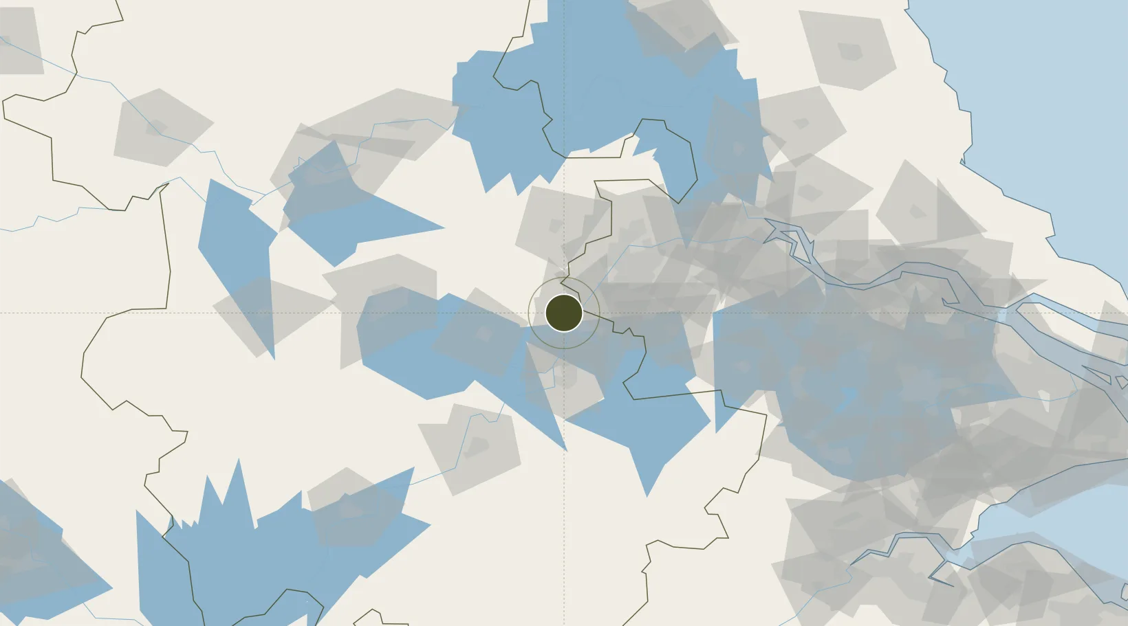
31.7665°, 118.3711°
648 ha
Zone area
50.2 km
Nearest port
46.9 km
Nearest airport

Gateway access

Nearest neighbours — logibook spatial index (haversine) over the source coordinates

Zone profile

Zone type
Export Processing Zone
Open Zone Map
Region
Anhui
Open Zone Map
Status
Active
Open Zone Map
Management
Public
Open Zone Map
Operator
Hexian Economic development Zone Management Committee
Open Zone Map
Legal framework
Hexian economic development zone in August 2005 started, in February 2006, the provincial government approved and reported to the National Development and Reform Commission approved for the provincial development zone.
Open Zone Map

Location

Location of ozm-1193
Natural Earth 10m (public domain) · Anhui · ozm-1193 · 31.77, 118.37GoogleOSMYandex

Nearby Logistics Neighbours

Ports
  1. 1Nanjing50 km
  2. 2Zhenjiang112 km
  3. 3Yangzhou115 km
  4. 4Gaogang151 km
  5. 5Changzhou154 km
Nearest neighbours — logibook spatial index (haversine) over the source coordinates
Airports
  1. 1Nanjing Lukou International Airport47 km
  2. 2Feidong Air Base69 km
  3. 3Wuhu Xuanzhou Airport79 km
  4. 4Chizhou Jiuhuashan Airport131 km
  5. 5Changzhou Benniu International Airport134 km
Nearest neighbours — logibook spatial index (haversine) over the source coordinates
Cities
  1. 1Ma'anshan11 km
  2. 2Wujiang13 km
  3. 3zhengpugang Pt15 km
  4. 4Quanjiao41 km
  5. 5Wuhu42 km
Nearest neighbours — logibook spatial index (haversine) over the source coordinates
DatabookThe Record of Consolidated Knowledge
China beyond logistics?
Browse databook

All Sources

Trade ZonesOpen Zone Map
CC BY
Portsthe NGA World Port Index
Public domain (US gov)
AirportsOurAirports
Public domain
LocationsUN/LOCODE
UN/LOCODE — free
← China trade zones