Transport Functions
Multimodal
Hub Profile
Place type
Populated place
Region
Jiangxi
Time zone
Asia/Shanghai
Elevation
116 m
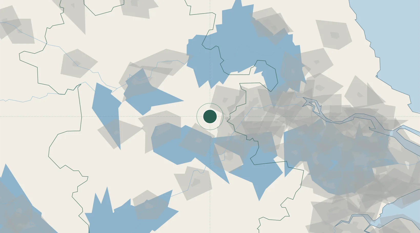
Location
Nearby Logistics Neighbours
Cities
- 1Chuzhou39 km
- 2Wujiang41 km
- 3Ma'anshan52 km
- 4Chaohu52 km
- 5zhengpugang Pt54 km
Airports
- 1Feidong Air Base41 km
- 2Nanjing Lukou International Airport82 km
- 3Hefei Xinqiao International Airport103 km
- 4Bengbu Tenghu Airport115 km
- 5Wuhu Xuanzhou Airport118 km
DatabookThe Record of Consolidated Knowledge
China beyond logistics?