Diversified Zone · China

Jianli Economic Development Zone Active
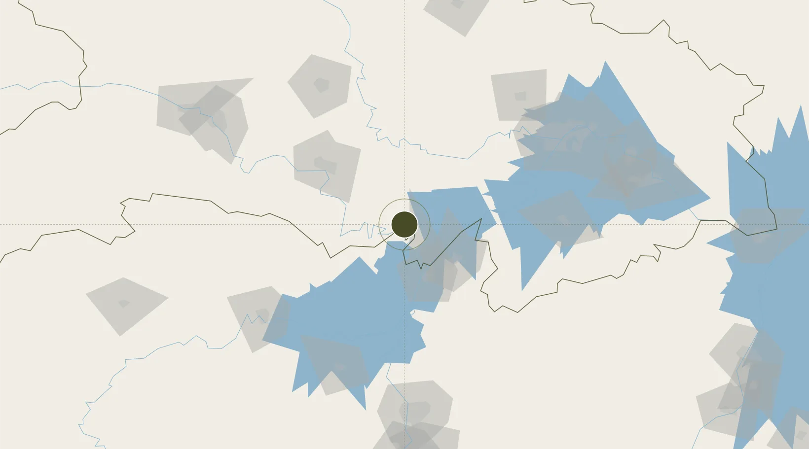
29.8285°, 112.9228°
3,450 ha
Zone area
155.4 km
Nearest port
67.1 km
Nearest airport

Gateway access

Nearest neighbours — logibook spatial index (haversine) over the source coordinates

Zone profile

Zone type
Diversified Zone
Open Zone Map
Region
Hubei
Open Zone Map
Status
Active
Open Zone Map
Management
Public
Open Zone Map
Operator
Jianli Economic Development Zone Management Committee
Open Zone Map
Legal framework
In December 1995, the provincial government approved the establishment of the provincial management development zone
Open Zone Map

Location

Location of ozm-903
Natural Earth 10m (public domain) · Hubei · ozm-903 · 29.83, 112.92GoogleOSMYandex

Nearby Logistics Neighbours

Ports
  1. 1Hankow155 km
  2. 2Nanjing610 km
  3. 3Zhenjiang675 km
  4. 4Yangzhou677 km
  5. 5Gaogang714 km
Nearest neighbours — logibook spatial index (haversine) over the source coordinates
Airports
  1. 1Yueyang Sanhe Airport67 km
  2. 2Jingzhou Shashi Airport69 km
  3. 3Wuhan Hannan Municipal Airport120 km
  4. 4Shanpo Air Base137 km
  5. 5Dangyang Air Base152 km
Nearest neighbours — logibook spatial index (haversine) over the source coordinates
Cities
  1. 1Chenglingji Pt49 km
  2. 2Yueyang50 km
  3. 3Jingzhou Pt82 km
  4. 4Changde150 km
  5. 5Baiyang151 km
Nearest neighbours — logibook spatial index (haversine) over the source coordinates
Trade Zones
  1. 1Huarong Industrial Concentration Zone49 km
  2. 2Junshan Industrial Concentration Zone49 km
  3. 3Yueyang Green Chemical Industrial Park51 km
  4. 4Jiangling Economic Development Zone52 km
  5. 5Linxiang Industrial Park66 km
Nearest neighbours — logibook spatial index (haversine) over the source coordinates
DatabookThe Record of Consolidated Knowledge
China beyond logistics?
Browse databook

All Sources

Trade ZonesOpen Zone Map
CC BY
Portsthe NGA World Port Index
Public domain (US gov)
AirportsOurAirports
Public domain
LocationsUN/LOCODE
UN/LOCODE — free
← China trade zones