Transport Functions
Multimodal
Hub Profile
Place type
Provincial seat
Region
Hebei
Population
868,066
Time zone
Asia/Shanghai
Elevation
19 m
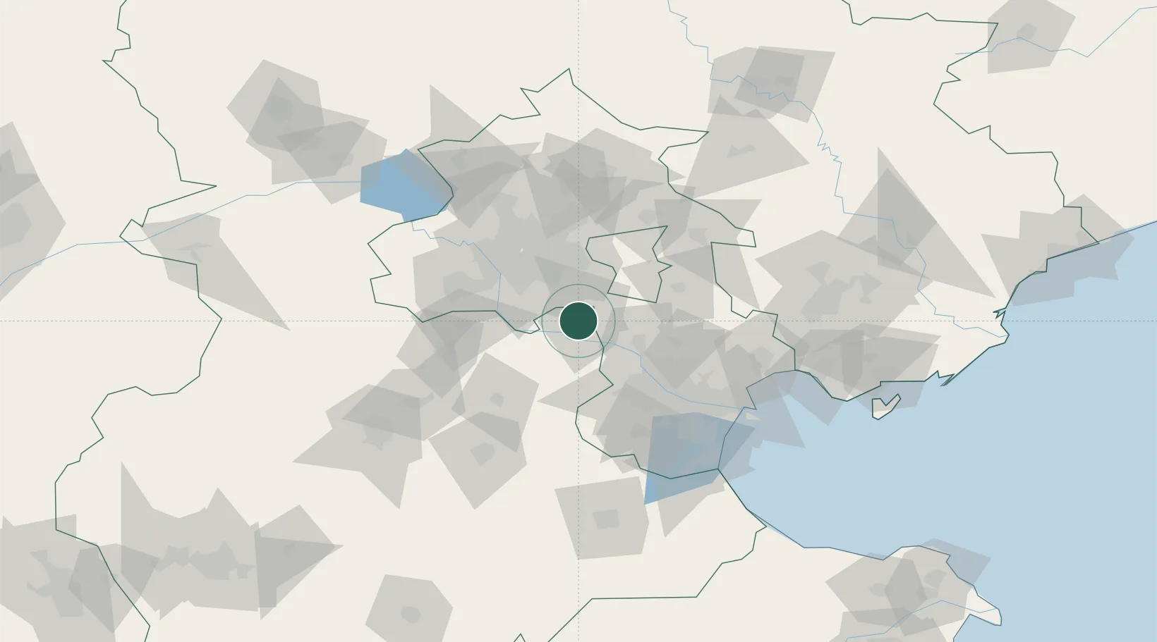
Location
Nearby Logistics Neighbours
Ports
- 1Tianjin Xin Gang115 km
- 2Tangshan (Jingtang)202 km
- 3Qinhuangdao254 km
- 4Longkou Gang375 km
- 5Huludao Gang387 km
Airports
DatabookThe Record of Consolidated Knowledge
China beyond logistics?