Diversified Zone · China

Langfang High-tech Industrial Development Zone Active
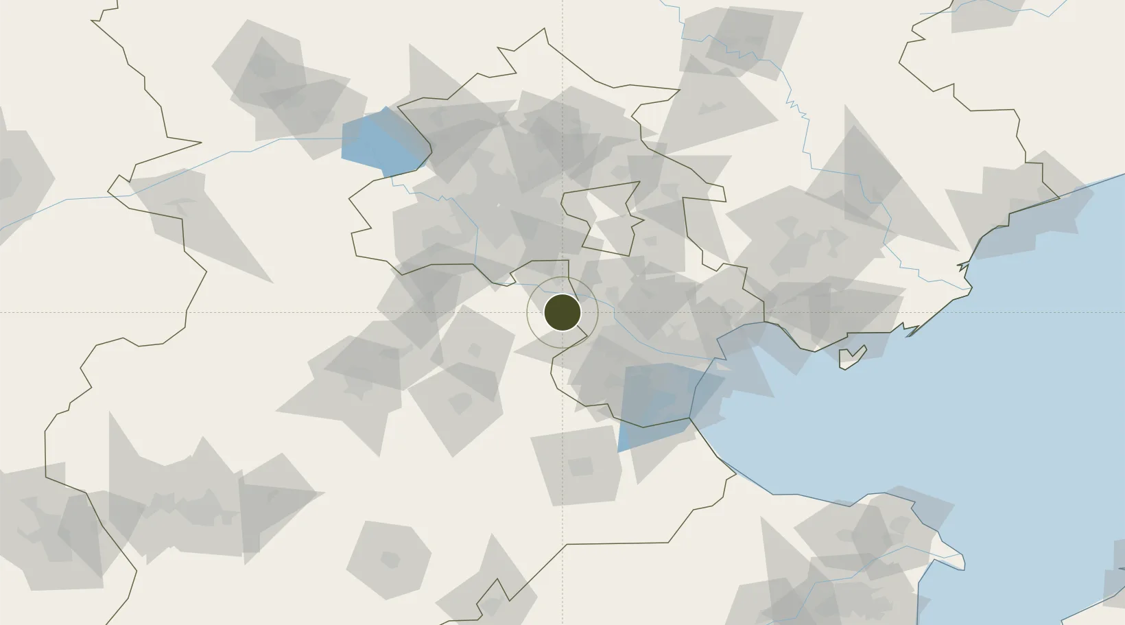
39.2766°, 116.7550°
1,517 ha
Zone area
99.2 km
Nearest port
31.2 km
Nearest airport

Gateway access

Nearest neighbours — logibook spatial index (haversine) over the source coordinates

Zone profile

Zone type
Diversified Zone
Open Zone Map
Region
Hebei
Open Zone Map
Status
Active
Open Zone Map
Management
Public
Open Zone Map
Operator
Langfang High-tech Industrial Development Management Committee
Open Zone Map
Legal framework
It was established with the approval of the provincial government in 2010
Open Zone Map

Location

Location of ozm-776
Natural Earth 10m (public domain) · Hebei · ozm-776 · 39.28, 116.75GoogleOSMYandex

Nearby Logistics Neighbours

Ports
  1. 1Tianjin Xin Gang99 km
  2. 2Tangshan (Jingtang)195 km
  3. 3Qinhuangdao256 km
  4. 4Longkou Gang357 km
  5. 5Penglai390 km
Nearest neighbours — logibook spatial index (haversine) over the source coordinates
Airports
  1. 1Yangcun Air Base31 km
  2. 2Beijing Daxing International Airport39 km
  3. 3Beijing Nanjiao Airport40 km
  4. 4Tianjin Binhai International Airport54 km
  5. 5Beijing Tongxian Air Base60 km
Nearest neighbours — logibook spatial index (haversine) over the source coordinates
Cities
  1. 1Langfang27 km
  2. 2Wuqing28 km
  3. 3Xiqing , Tianjing33 km
  4. 4Daxing38 km
  5. 5Heping43 km
Nearest neighbours — logibook spatial index (haversine) over the source coordinates
Trade Zones
  1. 1Fengxiang High-tech Industrial Development Zone2 km
  2. 2Shuangkou Industrial Park28 km
  3. 3Wuqing Fuyuan Economic Development Zone32 km
  4. 4Zhongbei Industrial Park33 km
  5. 5Jingbin Industrial Park33 km
Nearest neighbours — logibook spatial index (haversine) over the source coordinates
DatabookThe Record of Consolidated Knowledge
China beyond logistics?
Browse databook

All Sources

Trade ZonesOpen Zone Map
CC BY
Portsthe NGA World Port Index
Public domain (US gov)
AirportsOurAirports
Public domain
LocationsUN/LOCODE
UN/LOCODE — free
← China trade zones