UN/LOCODE hub · China
CNHPT

Heping

39.1174°, 117.2136°
1
Transport functions

Transport Functions

Multimodal
UN/LOCODE

Hub Profile

Place type
Populated place
GeoNames
Region
Beijing
GeoNames
Time zone
Asia/Shanghai
GeoNames
Elevation
33 m
GeoNames
Logistics facilities
1
UN/LOCODE

Location

Location of CNHPT
Natural Earth 10m (public domain) · Beijing · CNHPT · 39.12, 117.21GoogleOSMYandex

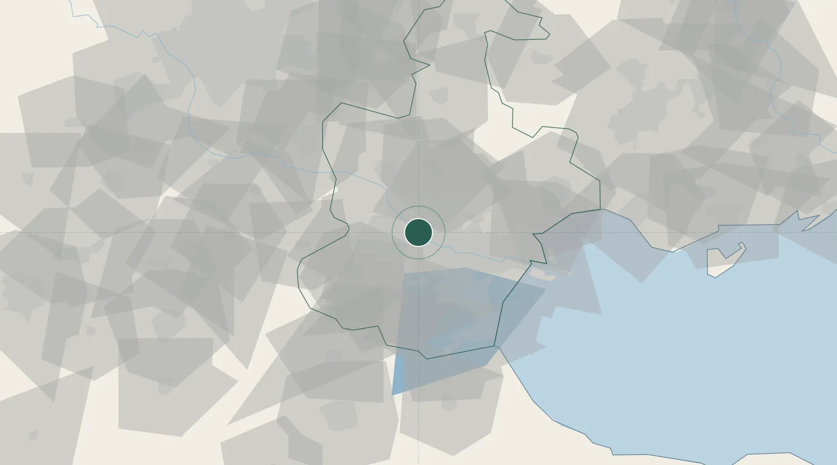
Nearby Logistics Neighbours

Cities
  1. 1Dongli ,Tianjing8 km
  2. 2Xiqing , Tianjing18 km
  3. 3Jinghai, Tianjing34 km
  4. 4Tanggu39 km
  5. 5Tianjin43 km
Nearest neighbours — logibook spatial index (haversine) over the source coordinates
Ports
  1. 1Tianjin Xin Gang56 km
  2. 2Tangshan (Jingtang)156 km
  3. 3Qinhuangdao225 km
  4. 4Longkou Gang314 km
  5. 5Penglai347 km
Nearest neighbours — logibook spatial index (haversine) over the source coordinates
Airports
  1. 1Tianjin Binhai International Airport11 km
  2. 2Yangcun Air Base30 km
  3. 3Tangguantun Air Base40 km
  4. 4Beijing Daxing International Airport81 km
  5. 5Beijing Nanjiao Airport83 km
Nearest neighbours — logibook spatial index (haversine) over the source coordinates
Trade Zones
  1. 1Zhongbei Industrial Park13 km
  2. 2Shuangkou Industrial Park18 km
  3. 3Junliangcheng Industrial Park22 km
  4. 4Jinnan Economic Development Zone26 km
  5. 5Tianjin High-tech Industrial Development Zone26 km
Nearest neighbours — logibook spatial index (haversine) over the source coordinates
DatabookThe Record of Consolidated Knowledge
China beyond logistics?
Browse databook

All Sources

LocationsUN/LOCODE
UN/LOCODE — free
Portsthe NGA World Port Index
Public domain (US gov)
AirportsOurAirports
Public domain
Trade Zonesthe World Bank SEZ database
CC BY 4.0
Trade ZonesOpen Zone Map
CC BY
← China locations