Export Processing Zone · China
Zanhuang Economic Development Zone Active
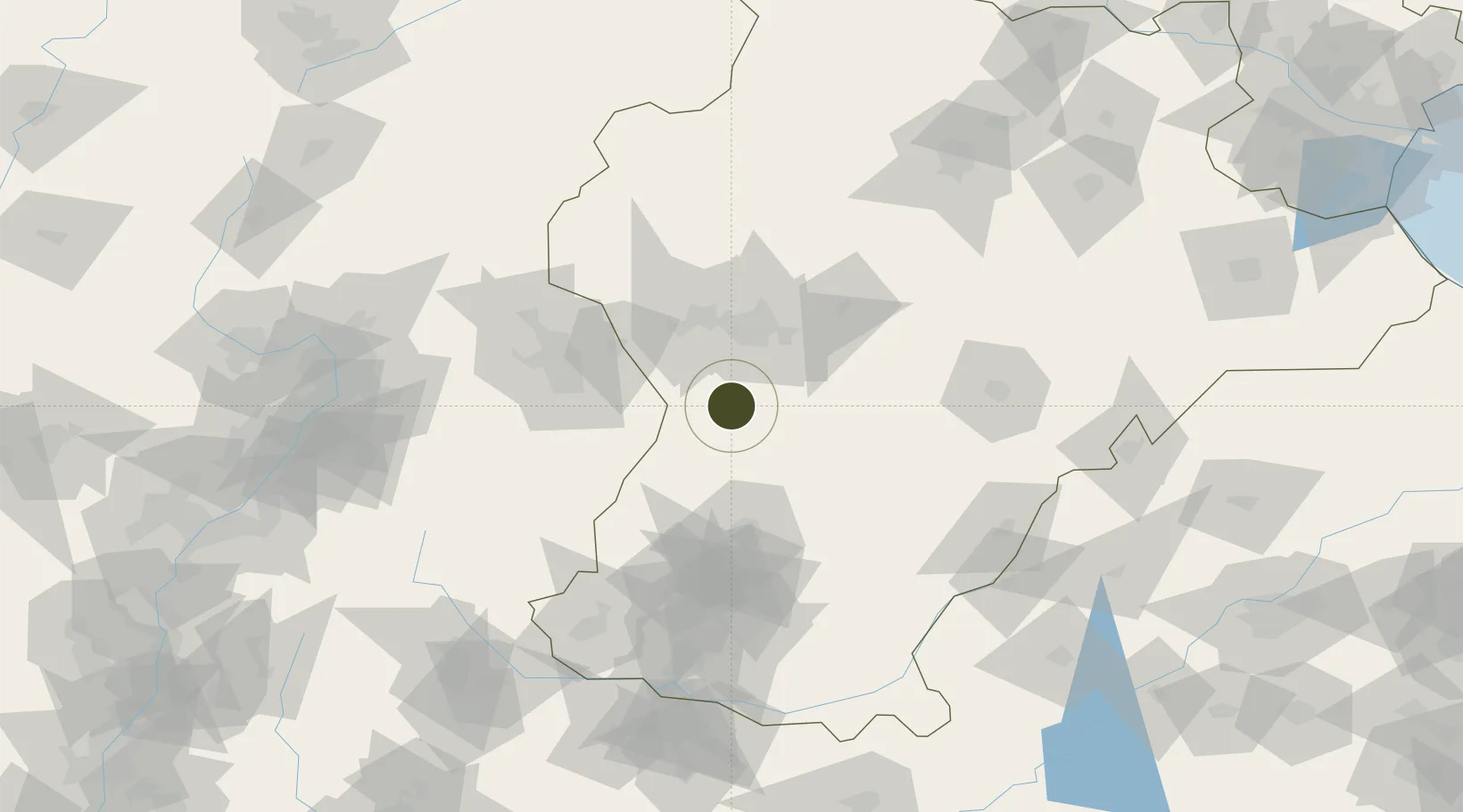
37.6644°, 114.4117°
1,000 ha
Zone area
331.8 km
Nearest port
72.9 km
Nearest airport
Gateway access
Zone profile
Zone type
Export Processing Zone
Region
Hebei
Status
Active
Management
Public
Operator
Working Committee of Zanhuang Economic Development Zone
Legal framework
Measures for Public Participation in Environmental Impact Assessment (Ministry Decree No. 4), Environmental Impact Report on the Overall Plan of Hebei Zanhuang Economic Development Zone (Draft for Comments)
Location
Nearby Logistics Neighbours
Ports
- 1Tianjin Xin Gang332 km
- 2Tangshan (Jingtang)436 km
- 3Qinhuangdao517 km
- 4Longkou Gang517 km
- 5Rizhao526 km
Airports
- 1Shijiazhuang Zhengding International Airport73 km
- 2Handan Airport127 km
- 3Jiugucheng Air Base152 km
- 4Taiyuan Wusu International Airport157 km
- 5Xinzhou Wutaishan Airport163 km
Cities
- 1Shijiazhuang42 km
- 2Xinji74 km
- 3Jinzhong148 km
- 4Liaocheng149 km
- 5Baoding163 km
DatabookThe Record of Consolidated Knowledge
China beyond logistics?