Export Processing Zone · China

Luquan Economic Development Zone Active
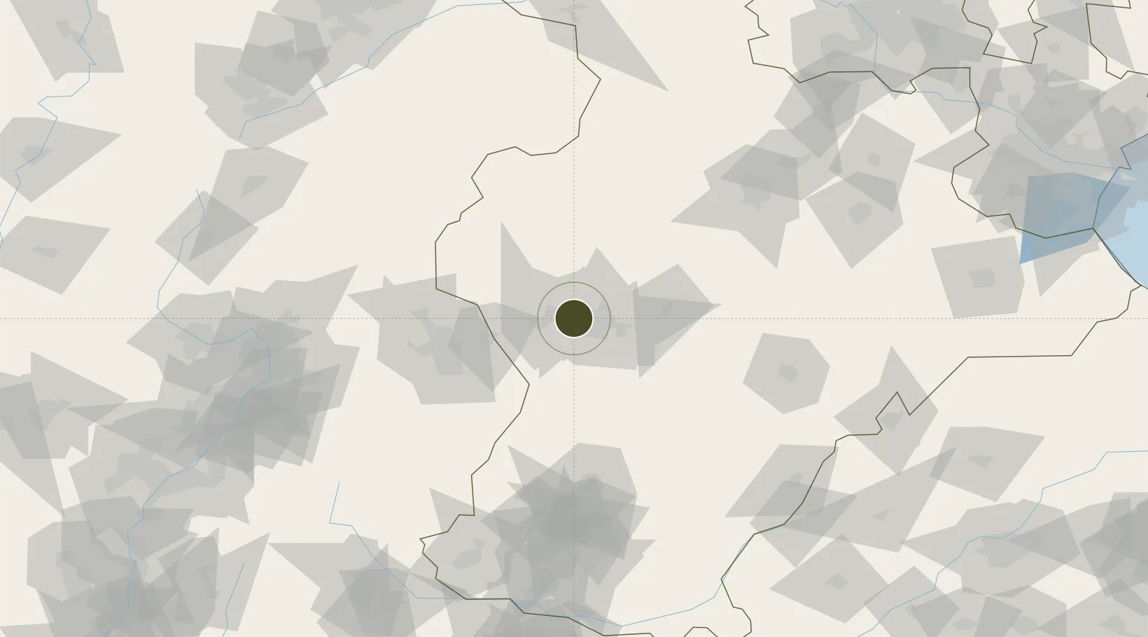
38.0707°, 114.3787°
1,396 ha
Zone area
316.6 km
Nearest port
36.3 km
Nearest airport

Gateway access

Nearest neighbours — logibook spatial index (haversine) over the source coordinates

Zone profile

Zone type
Export Processing Zone
Open Zone Map
Region
Hebei
Open Zone Map
Status
Active
Open Zone Map
Management
Public
Open Zone Map
Operator
Management Committee of Hebei Luquan Economic Development Zone
Open Zone Map
Legal framework
Unavailable
Open Zone Map

Location

Location of ozm-1307
Natural Earth 10m (public domain) · Hebei · ozm-1307 · 38.07, 114.38GoogleOSMYandex

Nearby Logistics Neighbours

Ports
  1. 1Tianjin Xin Gang317 km
  2. 2Tangshan (Jingtang)422 km
  3. 3Qinhuangdao498 km
  4. 4Longkou Gang521 km
  5. 5Rizhao550 km
Nearest neighbours — logibook spatial index (haversine) over the source coordinates
Airports
  1. 1Shijiazhuang Zhengding International Airport36 km
  2. 2Xinzhou Wutaishan Airport136 km
  3. 3Taiyuan Wusu International Airport158 km
  4. 4Jiugucheng Air Base166 km
  5. 5Handan Airport172 km
Nearest neighbours — logibook spatial index (haversine) over the source coordinates
Cities
  1. 1Shijiazhuang11 km
  2. 2Xinji74 km
  3. 3Baoding131 km
  4. 4Jinzhong151 km
  5. 5Dezhou182 km
Nearest neighbours — logibook spatial index (haversine) over the source coordinates
Trade Zones
  1. 1Zhengding High-tech Industrial Development Zone22 km
  2. 2Xibaipo Economic Development Zone23 km
  3. 3Jingxing Economic Development Zone30 km
  4. 4Xingtang Economic Development Zone38 km
  5. 5Xinle Economic Development Zone45 km
Nearest neighbours — logibook spatial index (haversine) over the source coordinates
DatabookThe Record of Consolidated Knowledge
China beyond logistics?
Browse databook

All Sources

Trade ZonesOpen Zone Map
CC BY
Portsthe NGA World Port Index
Public domain (US gov)
AirportsOurAirports
Public domain
LocationsUN/LOCODE
UN/LOCODE — free
← China trade zones