Export Processing Zone · China

Nanpi Economic Development Zone Active
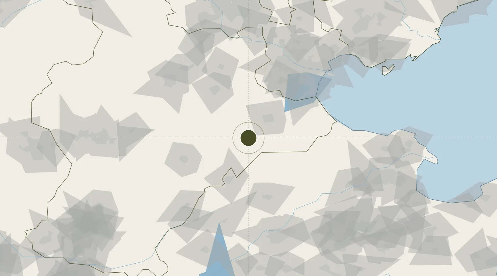
38.0379°, 116.5938°
967 ha
Zone area
149.3 km
Nearest port
50.2 km
Nearest airport

Gateway access

Nearest neighbours — logibook spatial index (haversine) over the source coordinates

Zone profile

Zone type
Export Processing Zone
Open Zone Map
Region
Hebei
Open Zone Map
Status
Active
Open Zone Map
Management
Public
Open Zone Map
Operator
Working Committee of Nanpi Economic Development Zone
Open Zone Map
Legal framework
Nanpi County Rural Construction Plan (2017-2030)
Open Zone Map

Location

Location of ozm-1243
Natural Earth 10m (public domain) · Hebei · ozm-1243 · 38.04, 116.59GoogleOSMYandex

Nearby Logistics Neighbours

Ports
  1. 1Tianjin Xin Gang149 km
  2. 2Tangshan (Jingtang)247 km
  3. 3Longkou Gang327 km
  4. 4Qinhuangdao336 km
  5. 5Penglai373 km
Nearest neighbours — logibook spatial index (haversine) over the source coordinates
Airports
  1. 1Cangxian Air Base50 km
  2. 2Jiugucheng Air Base74 km
  3. 3Tangguantun Air Base92 km
  4. 4Tianjin Binhai International Airport137 km
  5. 5Jinan Yaoqiang International Airport142 km
Nearest neighbours — logibook spatial index (haversine) over the source coordinates
Cities
  1. 1Cangzhou38 km
  2. 2Leling64 km
  3. 3Dezhou73 km
  4. 4Huanghua Pt75 km
  5. 5Jinghai, Tianjing100 km
Nearest neighbours — logibook spatial index (haversine) over the source coordinates
Trade Zones
  1. 1Dongguang Economic Development Zone17 km
  2. 2Cangzhou High-tech Industrial Development Zone39 km
  3. 3Cangzhou Economic Development Zone40 km
  4. 4Fucheng Economic Development Zone40 km
  5. 5Xian County Economic Development Zone41 km
Nearest neighbours — logibook spatial index (haversine) over the source coordinates
DatabookThe Record of Consolidated Knowledge
China beyond logistics?
Browse databook

All Sources

Trade ZonesOpen Zone Map
CC BY
Portsthe NGA World Port Index
Public domain (US gov)
AirportsOurAirports
Public domain
LocationsUN/LOCODE
UN/LOCODE — free
← China trade zones