Large airport · China
Tianjin Binhai International AirportZBTJ
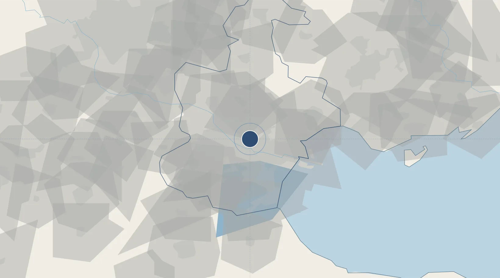
39.1244°, 117.3460°
11,811 ft
Longest runway
2
Runways
10 ft
Elevation
Runway & Layout

Radio Frequencies
ATIS
126.4 MHz
TWR
118.2 MHz
TIANJIN TWR
TWR
118.425 MHz
TIANJIN TWR
TWR
118.875 MHz
TIANJIN TWR
TWR
130 MHz
TIANJIN TWR
GND
121.75 MHz
RAMP CON
APP
118.2 MHz
TIANJIN APP
Navaids
CG NDB Tianjin 339 kHz
J NDB Tianjin 517 kHz
JS NDB Tianjin 452 kHz
TAJ VOR-DME Tianjin 112.10 MHz
Runways · 2
| Runway | Dimensions | Surface | True heading | Lit |
|---|---|---|---|---|
| 16R/34L | 11,811 × 197ft | Concrete | 155° | ✓ |
| 16L/34R | 10,499 × 148ft | Concrete | 154° | ✓ |
Airport Specifications
IATA code
TSN
ICAO code
ZBTJ
Airport class
Large airport
Scheduled service
Yes
Runway surface
Concrete
Served city
Tianjin
Location
Nearby Logistics Neighbours
Airports
- 1Yangcun Air Base35 km
- 2Tangguantun Air Base45 km
- 3Tangshan Sannühe Airport87 km
- 4Cangxian Air Base88 km
- 5Beijing Daxing International Airport91 km
Cities
- 1Dongli ,Tianjing6 km
- 2Heping11 km
- 3Tanggu29 km
- 4Xiqing , Tianjing29 km
- 5Tianjin32 km
Ports
- 1Tianjin Xin Gang46 km
- 2Tangshan (Jingtang)144 km
- 3Qinhuangdao215 km
- 4Longkou Gang305 km
- 5Penglai337 km
Trade Zones
DatabookThe Record of Consolidated Knowledge
China beyond logistics?