UN/LOCODE hub · China
CNHUH

Huanghua Pt

38.3500°, 117.3500°
1
Transport functions

Transport Functions

Port
UN/LOCODE

Hub Profile

Region
HE
GeoNames

Location

Location of CNHUH
Natural Earth 10m (public domain) · HE · CNHUH · 38.35, 117.35GoogleOSMYandex

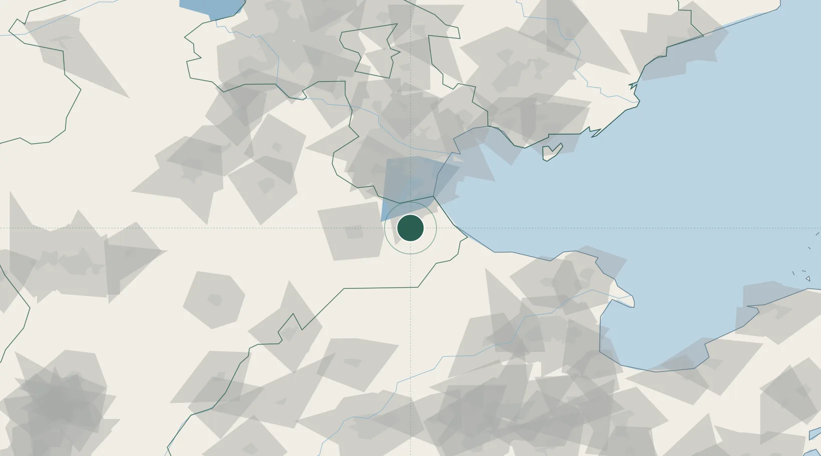
Nearby Logistics Neighbours

Cities
  1. 1Cangzhou43 km
  2. 2Leling70 km
  3. 3Jinghai, Tianjing71 km
  4. 4Tianjin Pt79 km
  5. 5Tanggu79 km
Nearest neighbours — logibook spatial index (haversine) over the source coordinates
Ports
  1. 1Tianjin Xin Gang80 km
  2. 2Tangshan (Jingtang)173 km
  3. 3Qinhuangdao263 km
  4. 4Longkou Gang269 km
  5. 5Penglai311 km
Nearest neighbours — logibook spatial index (haversine) over the source coordinates
Airports
  1. 1Cangxian Air Base37 km
  2. 2Tangguantun Air Base54 km
  3. 3Tianjin Binhai International Airport86 km
  4. 4Yangcun Air Base116 km
  5. 5Jiugucheng Air Base144 km
Nearest neighbours — logibook spatial index (haversine) over the source coordinates
Trade Zones
  1. 1Huanghua Economic Development Zone2 km
  2. 2Cangzhou Economic Development Zone38 km
  3. 3Cangzhou High-tech Industrial Development Zone47 km
  4. 4Qingxian Economic Development Zone49 km
  5. 5Dagang Petrochemical Industrial Park55 km
Nearest neighbours — logibook spatial index (haversine) over the source coordinates
DatabookThe Record of Consolidated Knowledge
China beyond logistics?
Browse databook

All Sources

LocationsUN/LOCODE
UN/LOCODE — free
Portsthe NGA World Port Index
Public domain (US gov)
AirportsOurAirports
Public domain
Trade Zonesthe World Bank SEZ database
CC BY 4.0
Trade ZonesOpen Zone Map
CC BY
← China locations