Export Processing Zone · China

Cangzhou Economic Development Zone Active
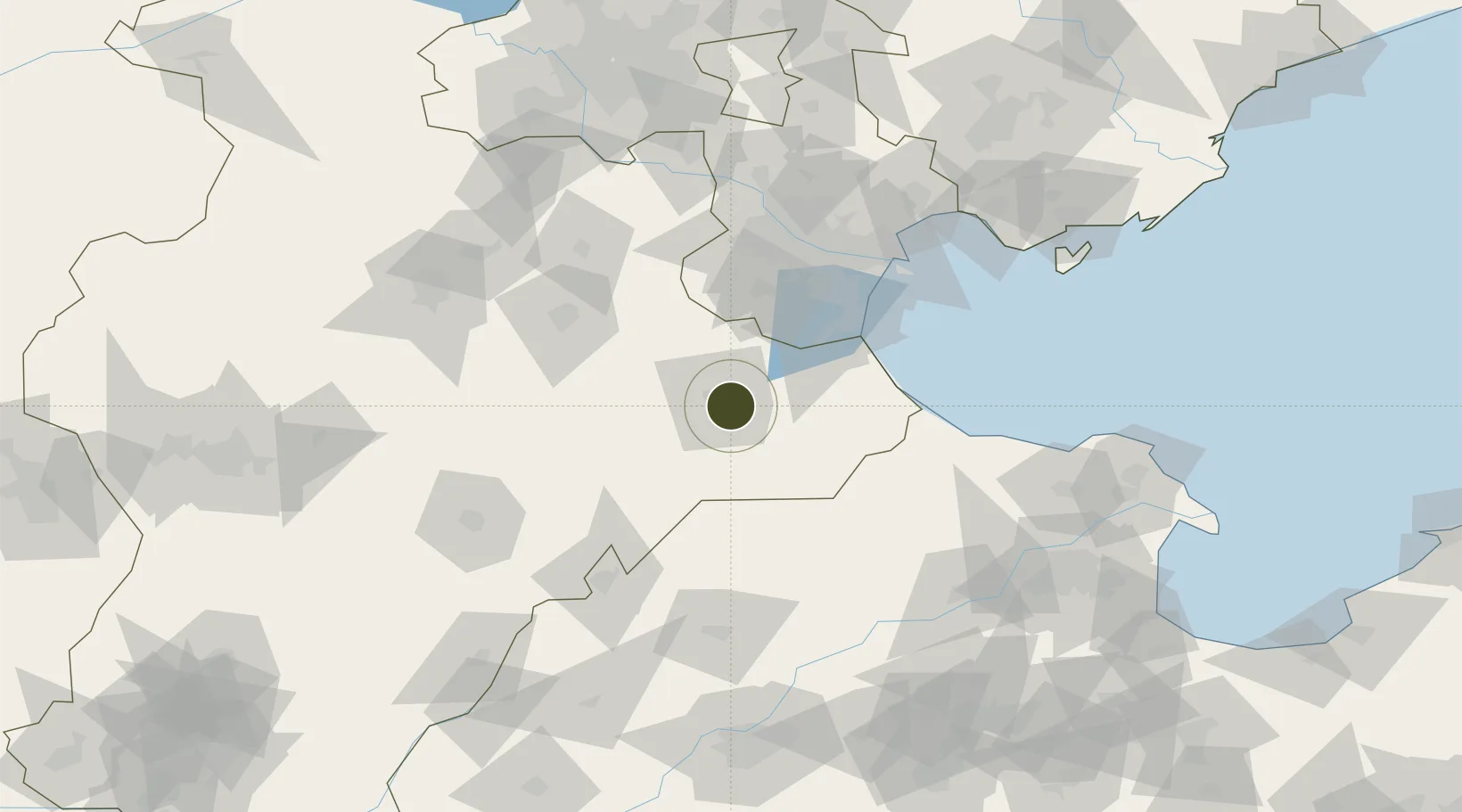
38.2862°, 116.9226°
991 ha
Zone area
109.5 km
Nearest port
13.0 km
Nearest airport

Gateway access

Nearest neighbours — logibook spatial index (haversine) over the source coordinates

Zone profile

Zone type
Export Processing Zone
Open Zone Map
Region
Hebei
Open Zone Map
Status
Active
Open Zone Map
Management
Public
Open Zone Map
Operator
Cangzhou Economic Development Zone Management Committee
Open Zone Map
Legal framework
Unavailable
Open Zone Map

Location

Location of ozm-1248
Natural Earth 10m (public domain) · Hebei · ozm-1248 · 38.29, 116.92GoogleOSMYandex

Nearby Logistics Neighbours

Ports
  1. 1Tianjin Xin Gang110 km
  2. 2Tangshan (Jingtang)208 km
  3. 3Qinhuangdao296 km
  4. 4Longkou Gang303 km
  5. 5Penglai346 km
Nearest neighbours — logibook spatial index (haversine) over the source coordinates
Airports
  1. 1Cangxian Air Base13 km
  2. 2Tangguantun Air Base57 km
  3. 3Tianjin Binhai International Airport100 km
  4. 4Jiugucheng Air Base113 km
  5. 5Yangcun Air Base122 km
Nearest neighbours — logibook spatial index (haversine) over the source coordinates
Cities
  1. 1Cangzhou5 km
  2. 2Huanghua Pt38 km
  3. 3Leling67 km
  4. 4Jinghai, Tianjing68 km
  5. 5Xiqing , Tianjing87 km
Nearest neighbours — logibook spatial index (haversine) over the source coordinates
Trade Zones
  1. 1Cangzhou High-tech Industrial Development Zone12 km
  2. 2Qingxian Economic Development Zone34 km
  3. 3Huanghua Economic Development Zone37 km
  4. 4Nanpi Economic Development Zone40 km
  5. 5Dongguang Economic Development Zone54 km
Nearest neighbours — logibook spatial index (haversine) over the source coordinates
DatabookThe Record of Consolidated Knowledge
China beyond logistics?
Browse databook

All Sources

Trade ZonesOpen Zone Map
CC BY
Portsthe NGA World Port Index
Public domain (US gov)
AirportsOurAirports
Public domain
LocationsUN/LOCODE
UN/LOCODE — free
← China trade zones