Export Processing Zone · China

Jianou Industrial Park Active
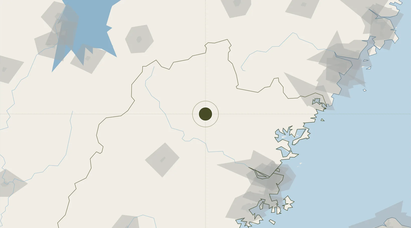
27.0524°, 118.3625°
650 ha
Zone area
142.5 km
Nearest port
80.6 km
Nearest airport

Gateway access

Nearest neighbours — logibook spatial index (haversine) over the source coordinates

Zone profile

Zone type
Export Processing Zone
Open Zone Map
Region
Fujian
Open Zone Map
Status
Active
Open Zone Map
Management
Public
Open Zone Map
Operator
Jian'ou Industrial Park Management Committee
Open Zone Map
Legal framework
Unavailable
Open Zone Map

Location

Location of ozm-1196
Natural Earth 10m (public domain) · Fujian · ozm-1196 · 27.05, 118.36GoogleOSMYandex

Nearby Logistics Neighbours

Ports
  1. 1Fuzhou143 km
  2. 2Xiuyu212 km
  3. 3Quanzhou242 km
  4. 4Wenzhou250 km
  5. 5Zhangzhou264 km
Nearest neighbours — logibook spatial index (haversine) over the source coordinates
Airports
  1. 1Nanping Wuyishan Airport81 km
  2. 2Sanming Shaxian Airport87 km
  3. 3Fuzhou Zhuqi Heliport127 km
  4. 4Fuzhou Air Base150 km
  5. 5Shangrao Sanqingshan Airport153 km
Nearest neighbours — logibook spatial index (haversine) over the source coordinates
Cities
  1. 1Nanping35 km
  2. 2Xili106 km
  3. 3Sanming / Shanming Shi117 km
  4. 4Shacheng123 km
  5. 5Ningde127 km
Nearest neighbours — logibook spatial index (haversine) over the source coordinates
Trade Zones
  1. 1Nanping Industrial Park47 km
  2. 2Zhenghe Economic Development Zone52 km
  3. 3Shunchang Industrial Park62 km
  4. 4Pingnan Industrial Park64 km
  5. 5Songxi Economic Development Zone71 km
Nearest neighbours — logibook spatial index (haversine) over the source coordinates
DatabookThe Record of Consolidated Knowledge
China beyond logistics?
Browse databook

All Sources

Trade ZonesOpen Zone Map
CC BY
Portsthe NGA World Port Index
Public domain (US gov)
AirportsOurAirports
Public domain
LocationsUN/LOCODE
UN/LOCODE — free
← China trade zones