Transport Functions
Multimodal
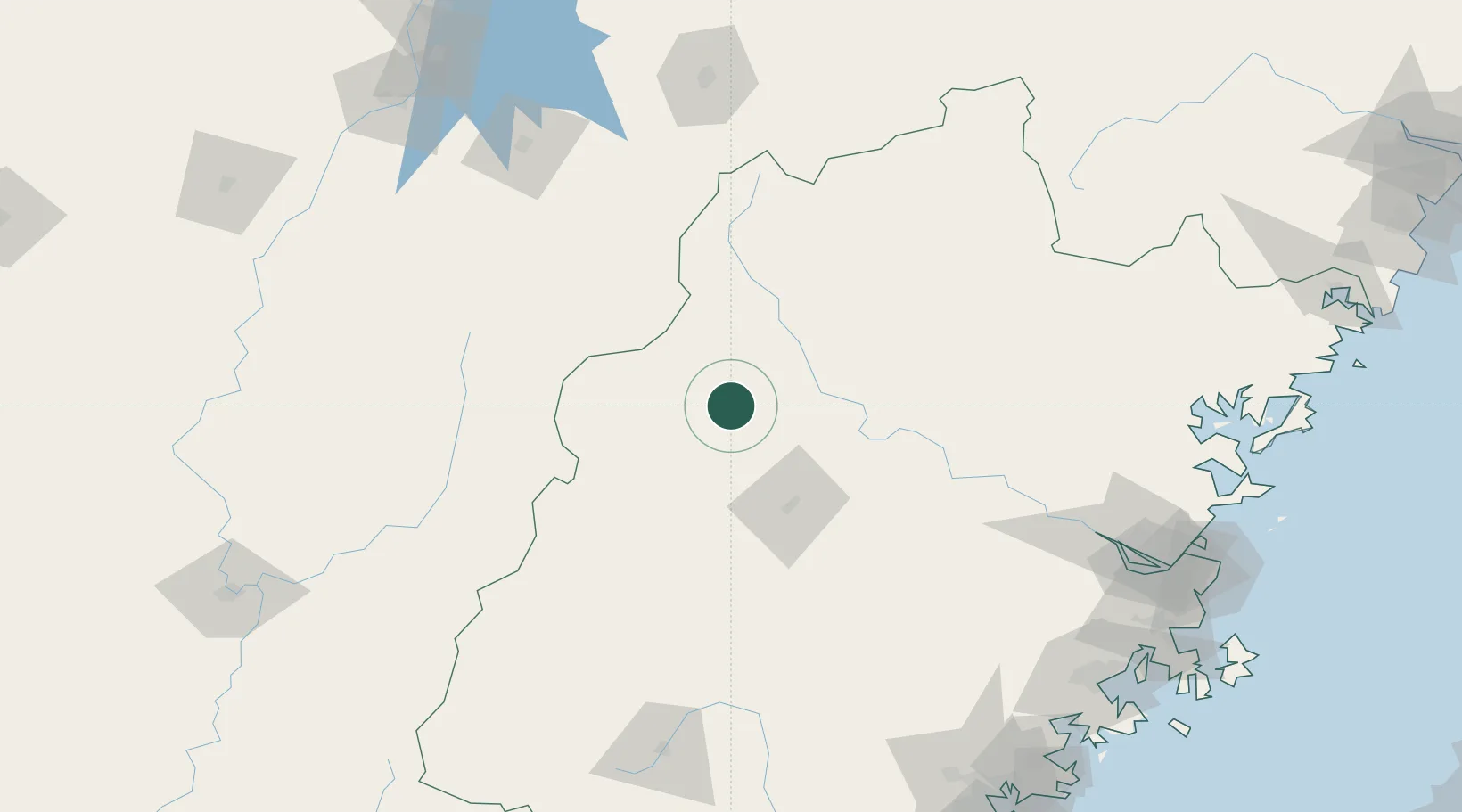
Hub Profile
Place type
Populated place
Region
Fujian
Time zone
Asia/Shanghai
Elevation
204 m
Location
Nearby Logistics Neighbours
Cities
- 1Sanming / Shanming Shi63 km
- 2Nanping71 km
- 3Gaozhou133 km
- 4Dehua163 km
- 5Yingtan173 km
Airports
- 1Sanming Shaxian Airport60 km
- 2Nanping Wuyishan Airport124 km
- 3Liancheng Guanzhishan Airport134 km
- 4Fuzhou Zhuqi Heliport189 km
- 5Shangrao Sanqingshan Airport191 km
Trade Zones
DatabookThe Record of Consolidated Knowledge
China beyond logistics?