Medium airport · China

Nanping Wuyishan AirportZSWY
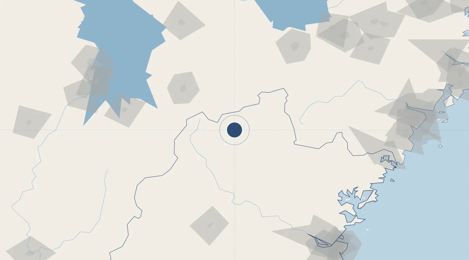
27.7019°, 118.0010°
7,874 ft
Longest runway
1
Runways
614 ft
Elevation

Runway & Layout

Nanping Wuyishan Airport runway & taxiway layout
Runway & taxiway layout — OpenStreetMap (ODbL) / OurAirports

Runways · 1

RunwayDimensions SurfaceTrue headingLit
03/21 7,874 × —ft CEM
OurAirports

Airport Specifications

IATA code
WUS
OurAirports
ICAO code
ZSWY
OurAirports
Airport class
Medium airport
OurAirports
Scheduled service
Yes
OurAirports
Runway surface
CEM
OurAirports
Served city
Wuyishan
OurAirports

Location

Location of ZSWY
Natural Earth 10m (public domain) · Fujian · ZSWY · 27.70, 118.00GoogleOSMYandex

Nearby Logistics Neighbours

Airports
  1. 1Shangrao Sanqingshan Airport76 km
  2. 2Sanming Shaxian Airport143 km
  3. 3Quzhou Airport166 km
  4. 4Jingdezhen Luojia Airport199 km
  5. 5Fuzhou Zhuqi Heliport207 km
Nearest neighbours — logibook spatial index (haversine) over the source coordinates
Cities
  1. 1Nanping88 km
  2. 2Yingtan114 km
  3. 3Xili124 km
  4. 4Sanming / Shanming Shi168 km
  5. 5Fuzhou172 km
Nearest neighbours — logibook spatial index (haversine) over the source coordinates
Ports
  1. 1Fuzhou221 km
  2. 2Wenzhou263 km
  3. 3Xiuyu291 km
  4. 4Quanzhou319 km
  5. 5Zhangzhou336 km
Nearest neighbours — logibook spatial index (haversine) over the source coordinates
Trade Zones
  1. 1Pucheng Industrial Park60 km
  2. 2Guangze Industrial Park66 km
  3. 3Jianou Industrial Park81 km
  4. 4Songxi Economic Development Zone81 km
  5. 5Zhenghe Economic Development Zone86 km
Nearest neighbours — logibook spatial index (haversine) over the source coordinates
DatabookThe Record of Consolidated Knowledge
China beyond logistics?
Browse databook

All Sources

AirportsOurAirports
Public domain
Portsthe NGA World Port Index
Public domain (US gov)
LocationsUN/LOCODE
UN/LOCODE — free
Trade Zonesthe World Bank SEZ database
CC BY 4.0
Trade ZonesOpen Zone Map
CC BY
InfrastructureOpenStreetMap
ODbL 1.0
← China airports