Transport Functions
Port
Multimodal
Hub Profile
Region
35
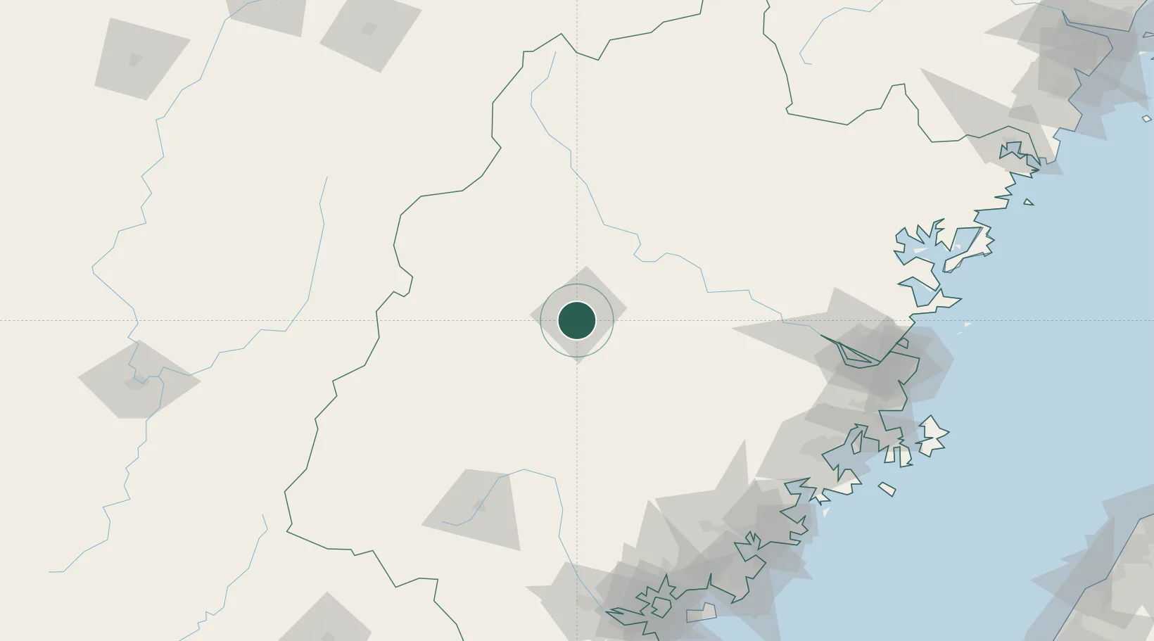
Location
Nearby Logistics Neighbours
Cities
- 1Xili63 km
- 2Gaozhou70 km
- 3Nanping87 km
- 4Dehua100 km
- 5Yongchun,Quanzhou120 km
Airports
- 1Sanming Shaxian Airport31 km
- 2Liancheng Guanzhishan Airport107 km
- 3Fuzhou Zhuqi Heliport150 km
- 4Nanping Wuyishan Airport168 km
- 5Fuzhou Air Base171 km
DatabookThe Record of Consolidated Knowledge
China beyond logistics?