Export Processing Zone · China

Shunchang Industrial Park Active
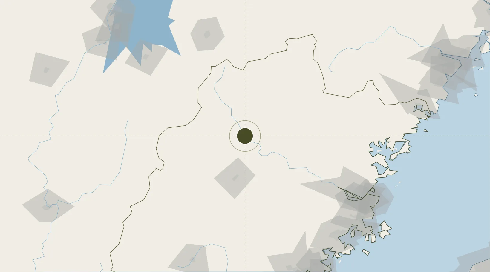
26.8718°, 117.7735°
1,521 ha
Zone area
175.4 km
Nearest port
49.9 km
Nearest airport

Gateway access

Nearest neighbours — logibook spatial index (haversine) over the source coordinates

Zone profile

Zone type
Export Processing Zone
Open Zone Map
Region
Fujian
Open Zone Map
Status
Active
Open Zone Map
Management
Public
Open Zone Map
Operator
Shunchang Industrial Park Management Committee
Open Zone Map
Legal framework
Unavailable
Open Zone Map

Location

Location of ozm-1323
Natural Earth 10m (public domain) · Fujian · ozm-1323 · 26.87, 117.77GoogleOSMYandex

Nearby Logistics Neighbours

Ports
  1. 1Fuzhou175 km
  2. 2Xiuyu219 km
  3. 3Quanzhou236 km
  4. 4Zhangzhou246 km
  5. 5Xiamen271 km
Nearest neighbours — logibook spatial index (haversine) over the source coordinates
Airports
  1. 1Sanming Shaxian Airport50 km
  2. 2Nanping Wuyishan Airport95 km
  3. 3Fuzhou Zhuqi Heliport157 km
  4. 4Liancheng Guanzhishan Airport168 km
  5. 5Shangrao Sanqingshan Airport169 km
Nearest neighbours — logibook spatial index (haversine) over the source coordinates
Cities
  1. 1Nanping27 km
  2. 2Xili44 km
  3. 3Sanming / Shanming Shi73 km
  4. 4Gaozhou140 km
  5. 5Dehua166 km
Nearest neighbours — logibook spatial index (haversine) over the source coordinates
Trade Zones
  1. 1Jiangle Economic Development Zone25 km
  2. 2Nanping Industrial Park48 km
  3. 3Taining Industrial Park62 km
  4. 4Jianou Industrial Park62 km
  5. 5Meilie Economic Development Zone67 km
Nearest neighbours — logibook spatial index (haversine) over the source coordinates
DatabookThe Record of Consolidated Knowledge
China beyond logistics?
Browse databook

All Sources

Trade ZonesOpen Zone Map
CC BY
Portsthe NGA World Port Index
Public domain (US gov)
AirportsOurAirports
Public domain
LocationsUN/LOCODE
UN/LOCODE — free
← China trade zones