Medium airport · China

Sanming Shaxian AirportZSSM
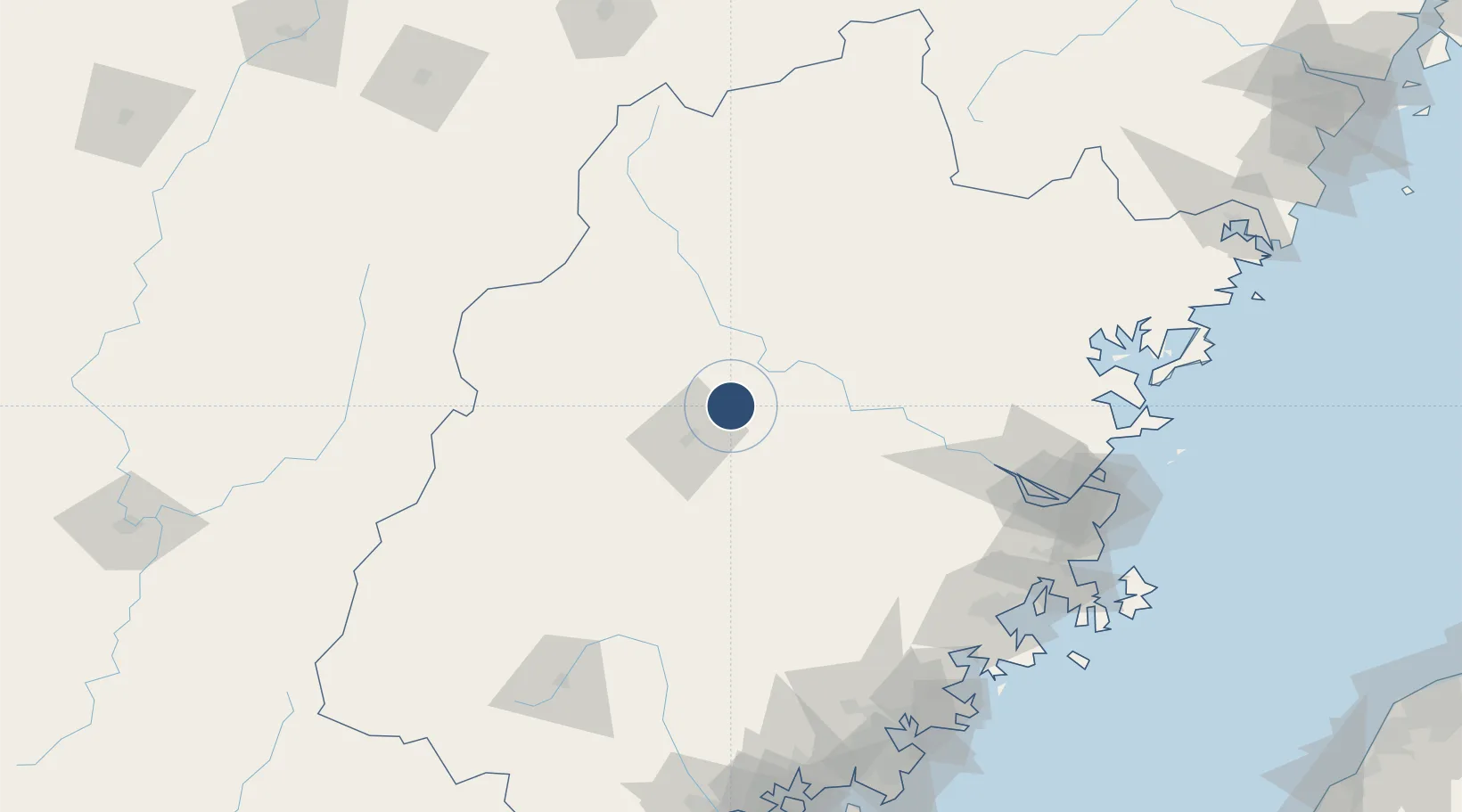
26.4263°, 117.8336°
8,530 ft
Longest runway
1
Runways
830 ft
Elevation

Runway & Layout

Sanming Shaxian Airport runway & taxiway layout
Runway & taxiway layout — OpenStreetMap (ODbL) / OurAirports

Runways · 1

RunwayDimensions SurfaceTrue headingLit
06/24 8,530 × —ft
OurAirports

Airport Specifications

IATA code
SQJ
OurAirports
ICAO code
ZSSM
OurAirports
Airport class
Medium airport
OurAirports
Scheduled service
Yes
OurAirports
Served city
Sanming (Sha)
OurAirports

Location

Location of ZSSM
Natural Earth 10m (public domain) · Fujian · ZSSM · 26.43, 117.83GoogleOSMYandex

Nearby Logistics Neighbours

Airports
  1. 1Fuzhou Zhuqi Heliport132 km
  2. 2Liancheng Guanzhishan Airport137 km
  3. 3Nanping Wuyishan Airport143 km
  4. 4Fuzhou Air Base155 km
  5. 5Huian Air Base184 km
Nearest neighbours — logibook spatial index (haversine) over the source coordinates
Cities
  1. 1Sanming / Shanming Shi31 km
  2. 2Nanping58 km
  3. 3Xili60 km
  4. 4Gaozhou90 km
  5. 5Dehua116 km
Nearest neighbours — logibook spatial index (haversine) over the source coordinates
Ports
  1. 1Fuzhou151 km
  2. 2Xiuyu176 km
  3. 3Quanzhou188 km
  4. 4Zhangzhou196 km
  5. 5Xiamen221 km
Nearest neighbours — logibook spatial index (haversine) over the source coordinates
Trade Zones
  1. 1Meilie Economic Development Zone25 km
  2. 2Sanyuan Economic Development Zone38 km
  3. 3Youxi Economic Development Zone41 km
  4. 4Nanping Industrial Park44 km
  5. 5Jiangle Economic Development Zone49 km
Nearest neighbours — logibook spatial index (haversine) over the source coordinates
DatabookThe Record of Consolidated Knowledge
China beyond logistics?
Browse databook

All Sources

AirportsOurAirports
Public domain
Portsthe NGA World Port Index
Public domain (US gov)
LocationsUN/LOCODE
UN/LOCODE — free
Trade Zonesthe World Bank SEZ database
CC BY 4.0
Trade ZonesOpen Zone Map
CC BY
InfrastructureOpenStreetMap
ODbL 1.0
← China airports