Diversified Zone · China

Songxi Economic Development Zone Active
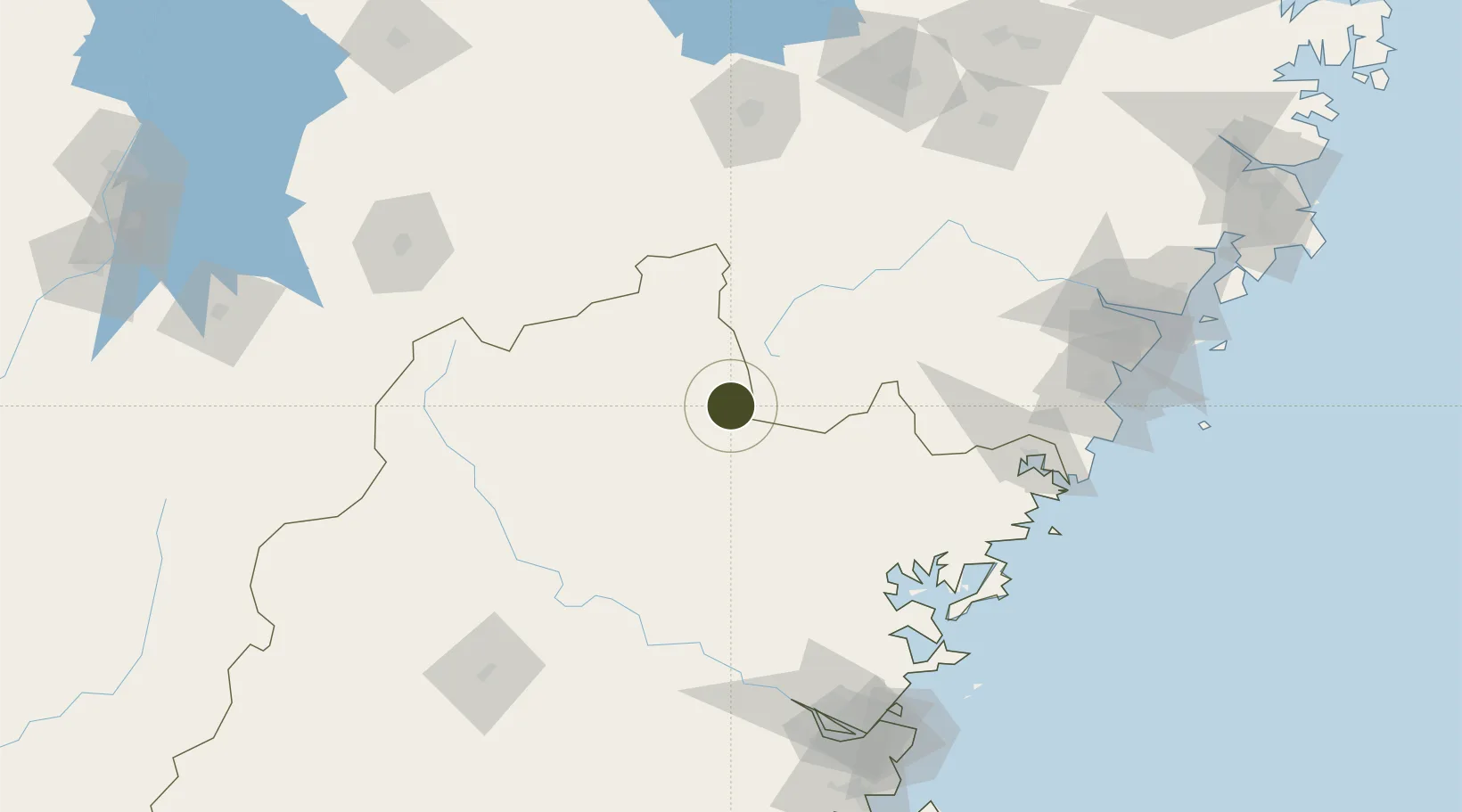
27.5509°, 118.8067°
776 ha
Zone area
170.4 km
Nearest port
81.1 km
Nearest airport

Gateway access

Nearest neighbours — logibook spatial index (haversine) over the source coordinates

Zone profile

Zone type
Diversified Zone
Open Zone Map
Region
Fujian
Open Zone Map
Status
Active
Open Zone Map
Management
Public
Open Zone Map
Operator
Management Committee of Songxi Economic Development Zone
Open Zone Map
Legal framework
In August 2011, Fujian Songxi Economic Development Zone was approved by the provincial government to be included in the management of provincial development zone
Open Zone Map

Location

Location of ozm-612
Natural Earth 10m (public domain) · Fujian · ozm-612 · 27.55, 118.81GoogleOSMYandex

Nearby Logistics Neighbours

Ports
  1. 1Fuzhou170 km
  2. 2Wenzhou189 km
  3. 3Xiuyu258 km
  4. 4Haimen288 km
  5. 5Quanzhou297 km
Nearest neighbours — logibook spatial index (haversine) over the source coordinates
Airports
  1. 1Nanping Wuyishan Airport81 km
  2. 2Shangrao Sanqingshan Airport124 km
  3. 3Quzhou Airport158 km
  4. 4Sanming Shaxian Airport158 km
  5. 5Fuzhou Zhuqi Heliport162 km
Nearest neighbours — logibook spatial index (haversine) over the source coordinates
Cities
  1. 1Nanping103 km
  2. 2Saiqi108 km
  3. 3Ningde120 km
  4. 4Zhangwan122 km
  5. 5Shacheng122 km
Nearest neighbours — logibook spatial index (haversine) over the source coordinates
Trade Zones
  1. 1Zhenghe Economic Development Zone23 km
  2. 2Pucheng Industrial Park53 km
  3. 3Shouning Industrial Park71 km
  4. 4Jianou Industrial Park71 km
  5. 5Longtan Urban Industrial Development Zone71 km
Nearest neighbours — logibook spatial index (haversine) over the source coordinates
DatabookThe Record of Consolidated Knowledge
China beyond logistics?
Browse databook

All Sources

Trade ZonesOpen Zone Map
CC BY
Portsthe NGA World Port Index
Public domain (US gov)
AirportsOurAirports
Public domain
LocationsUN/LOCODE
UN/LOCODE — free
← China trade zones