Export Processing Zone · China

Wuan Industrial Park Active
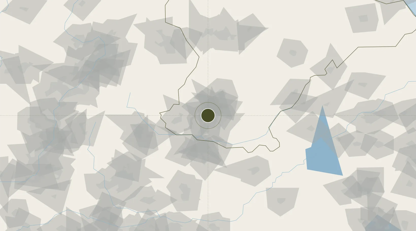
36.6827°, 114.2548°
460 ha
Zone area
404.0 km
Nearest port
23.2 km
Nearest airport

Gateway access

Nearest neighbours — logibook spatial index (haversine) over the source coordinates

Zone profile

Zone type
Export Processing Zone
Open Zone Map
Region
Hebei
Open Zone Map
Status
Active
Open Zone Map
Management
Public
Open Zone Map
Operator
Hebei Wu'an Industrial Park Management Committee
Open Zone Map
Legal framework
Unavailable
Open Zone Map

Location

Location of ozm-1155
Natural Earth 10m (public domain) · Hebei · ozm-1155 · 36.68, 114.25GoogleOSMYandex

Nearby Logistics Neighbours

Ports
  1. 1Tianjin Xin Gang404 km
  2. 2Lanshan494 km
  3. 3Rizhao499 km
  4. 4Tangshan (Jingtang)503 km
  5. 5Lianyungang517 km
Nearest neighbours — logibook spatial index (haversine) over the source coordinates
Airports
  1. 1Handan Airport23 km
  2. 2Anyang Hongqiqu Airport92 km
  3. 3Changzhi Wangcun Airport112 km
  4. 4Shijiazhuang Zhengding International Airport182 km
  5. 5Taiyuan Wusu International Airport186 km
Nearest neighbours — logibook spatial index (haversine) over the source coordinates
Cities
  1. 1Hebi104 km
  2. 2Puyang128 km
  3. 3Liaocheng133 km
  4. 4Shijiazhuang152 km
  5. 5Xinxiang158 km
Nearest neighbours — logibook spatial index (haversine) over the source coordinates
Trade Zones
  1. 1Yongnian Industrial Park25 km
  2. 2Handan Matou Economic Development Zone28 km
  3. 3Daming Economic Development Zone28 km
  4. 4Handan Industrial Park32 km
  5. 5Linzhang Economic Development Zone41 km
Nearest neighbours — logibook spatial index (haversine) over the source coordinates
DatabookThe Record of Consolidated Knowledge
China beyond logistics?
Browse databook

All Sources

Trade ZonesOpen Zone Map
CC BY
Portsthe NGA World Port Index
Public domain (US gov)
AirportsOurAirports
Public domain
LocationsUN/LOCODE
UN/LOCODE — free
← China trade zones